
Today’s rain risks + polar change & northern low this weekend
12/08/2026 12:41pm
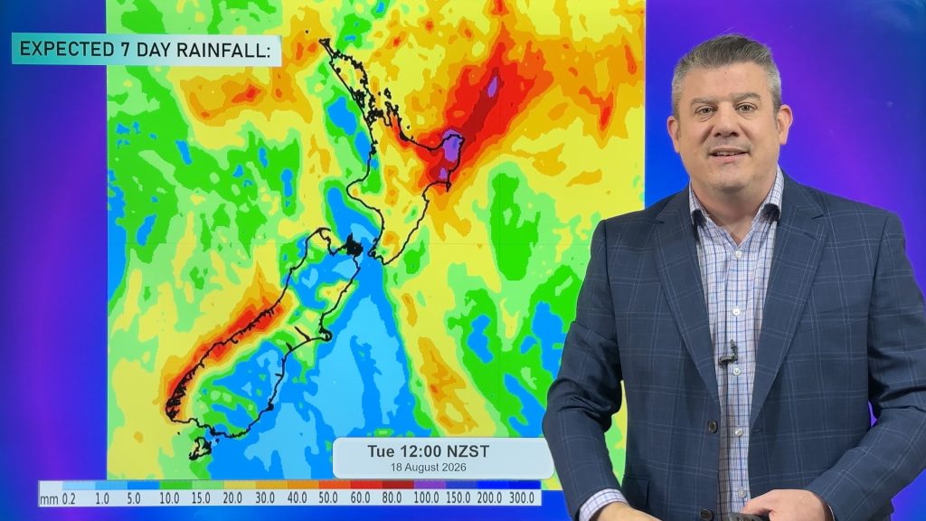
Wet weather is pushing into the top of the North Island and the West Coast today, with some wet weather spilling over to the east and into Southland – although most eastern areas south of Bay of Plenty and down to Otago should be fairly dry today.
The rain in Northland is a little complicated – there is a weak area of low pressure trying to spin up and if it does, that might make for some heavier falls. However the rain band is running into higher pressure as it heads south which weakens it – so the upper North Island over today, tonight and tomorrow has patchy rain with some dry and drizzly areas, coupled with isolated/localised heavy downpours.
As we go into the weekend a new low forms over the upper North Island and may bring heavy rain into the north-east of the island (East Cape, eastern BOP, Gisborne and northern Hawkes Bay). We’re monitoring that and bring you the latest forecast.
While the weekend low brings in some rain and showers to the North Island, a polar southerly moves up the South Island on Saturday and into the North Island on Sunday and Monday, bringing snow to ski fields and the ranges, wet weather in the east, and a drop in temperatures pretty much nationwide.
Next week – a mountain of high pressure moves in towards NZ bringing more windy southerlies as it approaches.
Latest Video
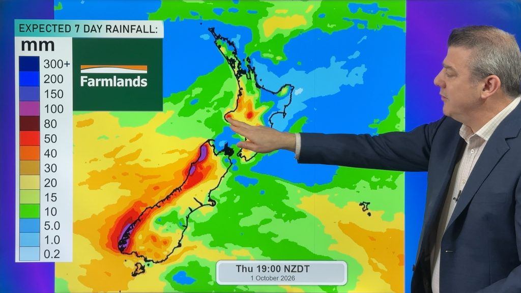
Snow, gales, frosts and sunshine as spring kicks in
Temperatures will lift up on Saturday ahead of Sunday’s polar change, with Sunday seeing the potential for snow down to…
Related Articles
Snow, gales, frosts and sunshine as spring kicks in
Temperatures will lift up on Saturday ahead of Sunday’s polar change, with Sunday seeing the potential for snow down to…
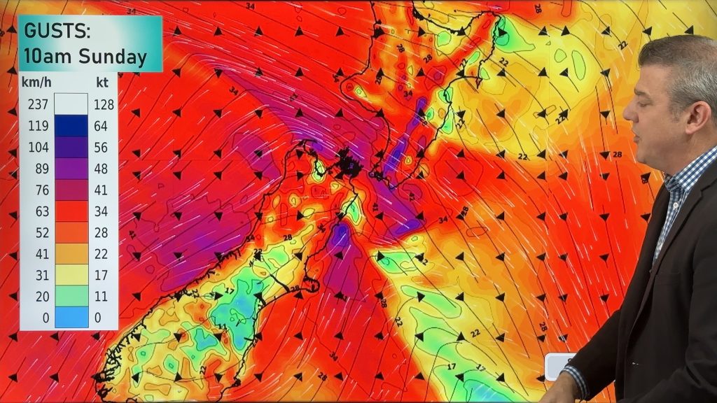
Polar snap Sunday, high pressure next week finally
Cold air will linger over NZ for another 24 to 36 hours, bringing more frosts and low temperatures tonight, but…

Meteors – Your Eyewitness Reports!
WeatherWatch.co.nz receives meteor reports from all over New Zealand and the globe, 24/7/365. **CASUAL COMMENTS**If you’ve seen something in the…

