Jan ends on a high, Feb starts with a low blow
28/01/2026 11:20pm
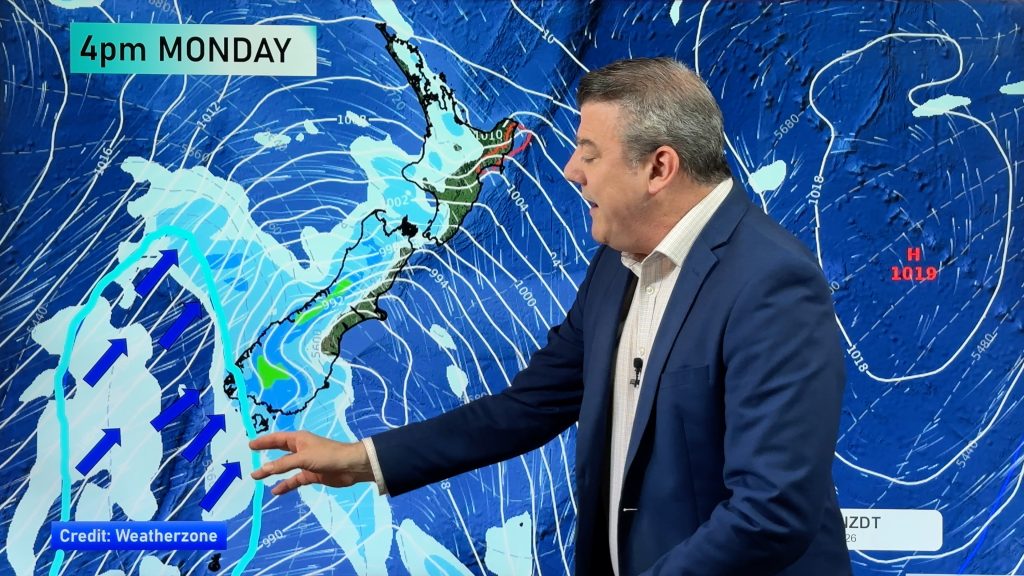
A cold front is moving up the South Island today, and falling apart, but high pressure is coming in behind it, bringing a warmer/hotter weekend. By Monday, Feb 2, a low south of NZ will bring a burst of windier weather, southern and western rain, northern showers/downpours – and a colder southerly change, dropping temperatures for much of NZ going through Monday and/or Tuesday.
By Tuesday though, high pressure again retuns and may linger over much of the nation going into Waitangi Day and the long weekend.
This morning an unofficial tropical cyclone had formed south of Fiji and well north of NZ. It’s a borderline system and will be short lived and is fast leaving the tropics. It’s not a named storm for these reasons. It will fall apart in the next 36 hours and won’t bring severe weather to NZ based on any modelling we’ve seen, because of so much high pressure in our part of the world.
We also have a 7 day upcoming rainfall map to make sense of it all.
Comments
Latest Video

Antarctic southerly for parts of NZ Fri & Sat
For the first time this year a southerly from off Antarctica is heading towards the South Island, followed by more…
Related Articles
Antarctic southerly for parts of NZ Fri & Sat
For the first time this year a southerly from off Antarctica is heading towards the South Island, followed by more…

Meteors – Your Eyewitness Reports!
WeatherWatch.co.nz receives meteor reports from all over New Zealand and the globe, 24/7/365. **CASUAL COMMENTS**If you’ve seen something in the…

Snow, rain showers & cold polar southerlies set to return
Friday will be a wintry day across NZ as the next cold front arrives, bringing snow to lower levels of…


Graeme Cairns on 29/01/2026 7:00pm
Great service you’re providing Phillip. Your explanations are really accessible. At last I understand how and why our local weather is so variable. Though how you keep track of your vast myriad of jacket and shirt combinations is still beyond me!
WW Forecast Team on 29/01/2026 9:39pm
Hi Graeme, thank you very much for the kind feedback. When it comes to shirts, I go for whichever one doesn’t needing ironing! 🙂
Have a great weekend,
Cheers
Phil