Hints of Autumn in the air but Summer not done yet – sub-tropical humidity to increase (+10 Maps)
24/02/2020 11:17pm

> From the WeatherWatch archives
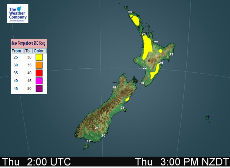
The nights are getting longer, the mornings cooler – but the afternoons are still hot, in fact hotter than average in the days ahead as high pressure smothers NZ. Many places will have highs in the mid to late 20s, some will reach 30 degrees.
After some cooler nights we also see temperatures creeping up overnight over the next few days.
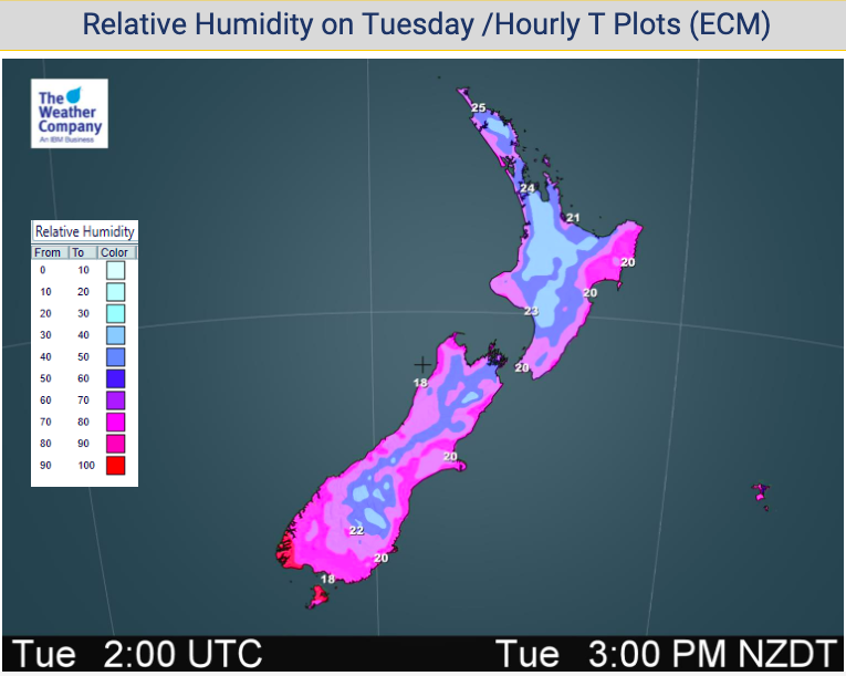
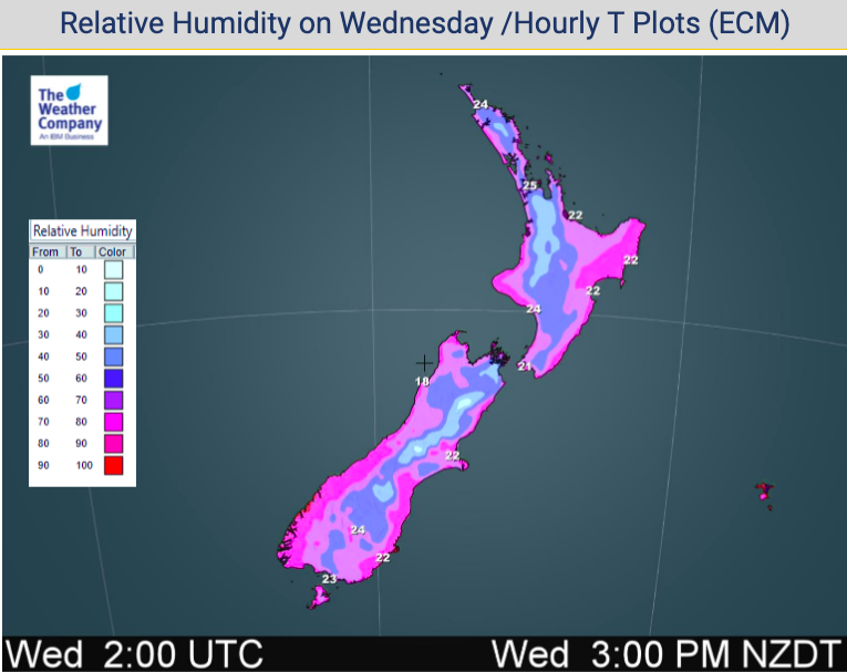
The next high will also encourage more sub-tropical and humid weather into the New Zealand area, which brings some isolated downpours into the upper North Island over Wednesday, Thursday and Friday.
Northern regions will have hot but pleasant Tuesday and Wednesday afternoons, while Thursday and Friday should more humid and a little less comfortable. Although clouds will also increase later this week in northern NZ.
![]()


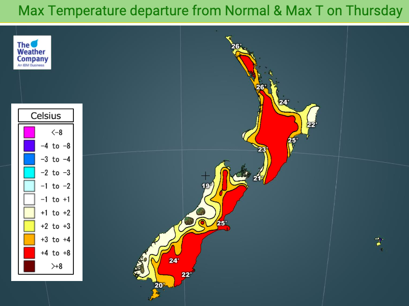

WHY MORE HUMID IN THE DAYS AHEAD? It’s all due to the airflows. Here’s the set up for Thursday: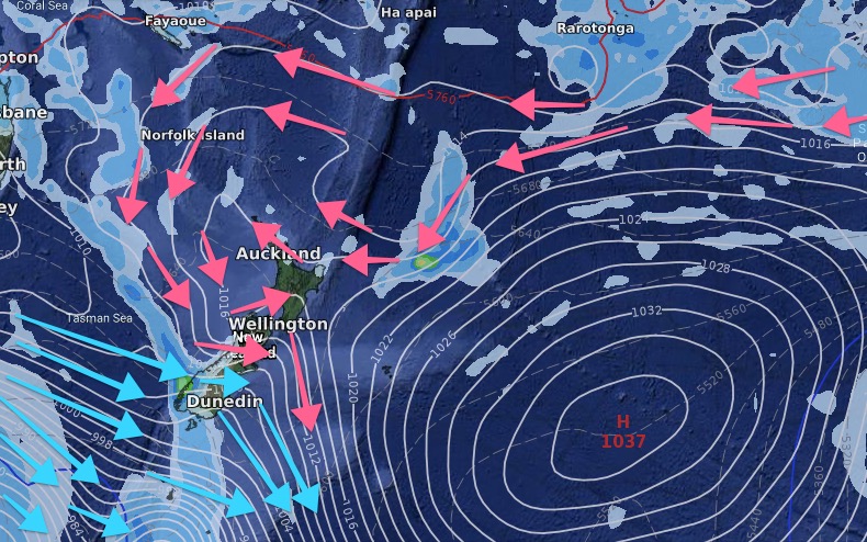
– WeatherWatch.co.nz
Latest Video

ClimateWatch: JULY outlook & what El Niño means for NZ
El Niño is officially here and still getting stronger in the months ahead, but it’s harder to notice its effects…
Related Articles
ClimateWatch: JULY outlook & what El Niño means for NZ
El Niño is officially here and still getting stronger in the months ahead, but it’s harder to notice its effects…

Low pressure heading to NZ this weekend & into next week
Many regions have settled weather at the moment with frosts as far north as Auckland this morning, but still some…

Colder nights/mornings, polar change coming Sun/Mon
The nights and mornings ahead will be colder in a number of regions – but an even colder change is…

