Gales affect NI regions Tuesday, then ease, but Wednesday gales return to SI. (+7 Maps)
30/11/2020 5:27pm

> From the WeatherWatch archives
On the first day of summer on the meteorological calendar NZ kicks off with peak spring weather!
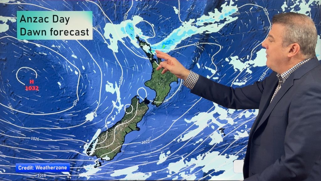
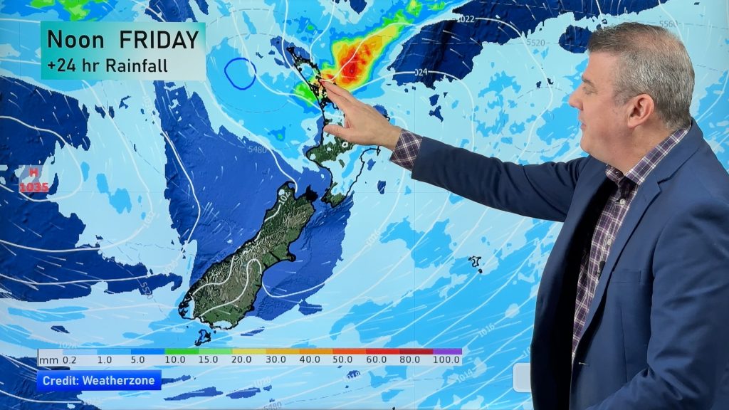
Gales will blast out of Cook Strait, over Taranaki and up to Auckland this morning, but shifting over to the eastern side of the North Island later today and tonight. Gusts will be between 80 and 120km/h in the windiest areas on land and may go even higher in Cook Strait for a time.
Winds will ease overnight and into Wednesday morning for the North Island with a much calmer Wednesday coming for many.
Education: Why is NZ so Windy? We explain.
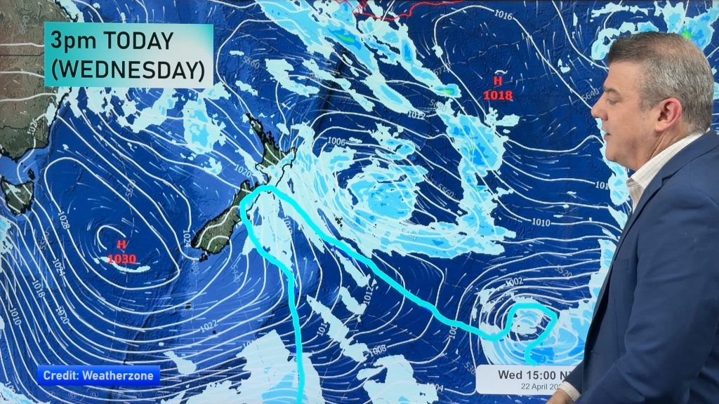
However, that isn’t the end of it. A huge storm in the Southern Ocean on Wednesday and Thursday will push more gales into the South Island this time, spreading northwards across Wednesday mostly inland and around the mountains.
Winds will again pick up in Wellington late on Wednesday with more gales on the way, up to 100km/h possible, this time from the north west.
See your Hourly forecasts for more details.


Comments
Before you add a new comment, take note this story was published on 30 Nov 2020.


Add new comment