DroughtWatch: How much fell yesterday + 7 day outlook (+5 maps)
9/03/2020 7:13pm

> From the WeatherWatch archives
Showers and patchy rain moved across the upper North Island yesterday and more is on the way.
Totals varied but generally fell within the forecast of a few mm up to 15, maybe 20. However it’s fair to say many had less than 2mm recorded too, meaning follow up rain is needed – and more is coming, at least in the form of showers.
Monday’s showers were, for some, very slow moving – allowing moisture to soak into the ground. While this will NOT reverse the drought it will give plants a burst of growth and see lawns and pasture greening up and growing. In particular the kikuyu grass is expected to start growing quite quickly even with just a few mm falling.
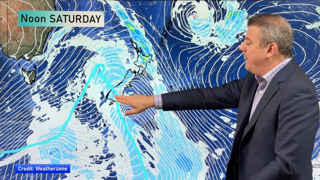
This weekend and early next week a sub-tropical low will ‘flirt’ with northern NZ. With so much high pressure over much of NZ this weekend the high is the dominant force and could expand and keep this sub-tropical low north of NZ, or at sea.
A tropical cyclone may be following after as well, around March 19 +/- a few days. It’s unclear if this could also bring rain or miss NZ, so worth monitoring.


WeatherWatch.co.nz
Comments
Before you add a new comment, take note this story was published on 9 Mar 2020.


Add new comment