
Damaging winds possible Sunday, polar cold returns to SI
21/08/2026 12:30pm
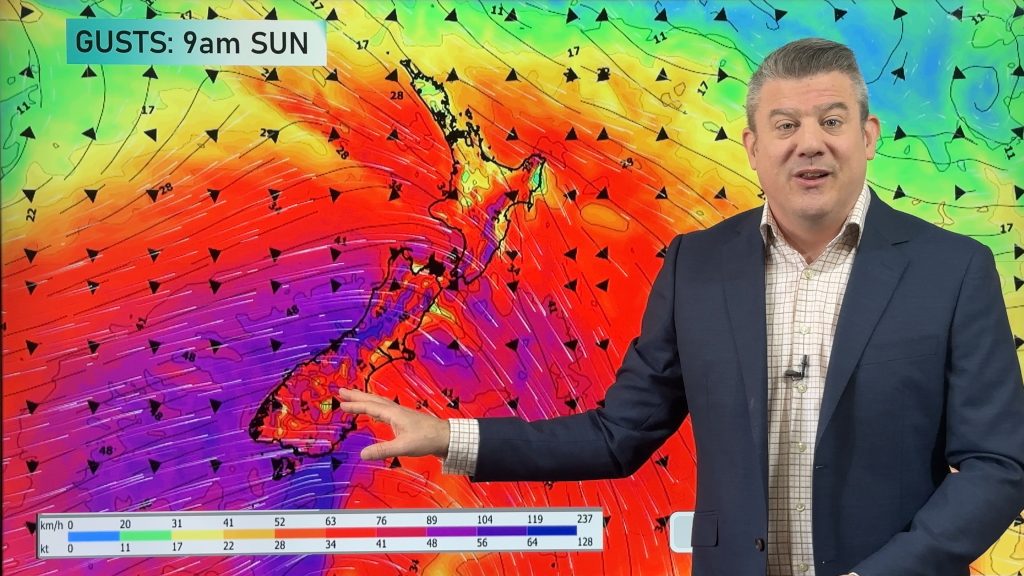
Warmer nor’west winds will move across NZ on Saturday, strengthening overnight and across Sunday with the chance of damaging gusts across large parts of the South Island and the lower half of the North Island. Some places will break the 20 degree mark thanks to the nor’wester – ahead of the cold change arriving in the South Island on Sunday.
Heavy rain will move into West Coast with thunderstorms possible and snow on the mountains and ranges as the polar boundary returns across the South Island by the afternoon – but doesn’t look to move into the North Island.
High pressure will be parked around Northland.
Next week has more westerly winds before high pressure returns – then a large low exiting Australia may reach NZ by the end of next week.
We have your 8 day NZ forecast from today to next Friday – and an 8 day rainfall map to make sense of it all.
Latest Video
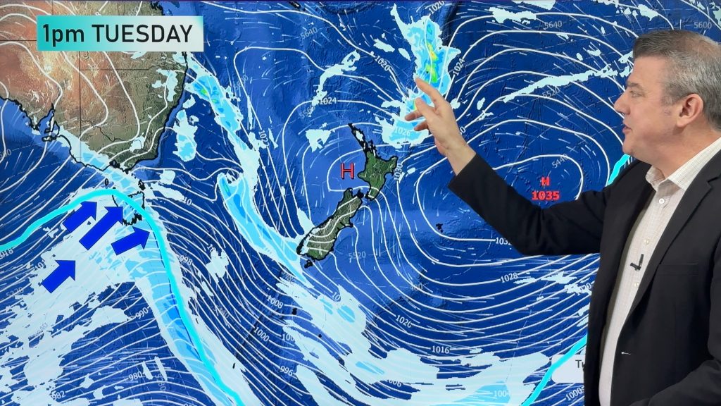
NZ 10 Day Forecast: Highs & lows in the mix
Despite an uptick in high pressure this week we still have lows and cold fronts trying to move our way…
Related Articles
NZ 10 Day Forecast: Highs & lows in the mix
Despite an uptick in high pressure this week we still have lows and cold fronts trying to move our way…
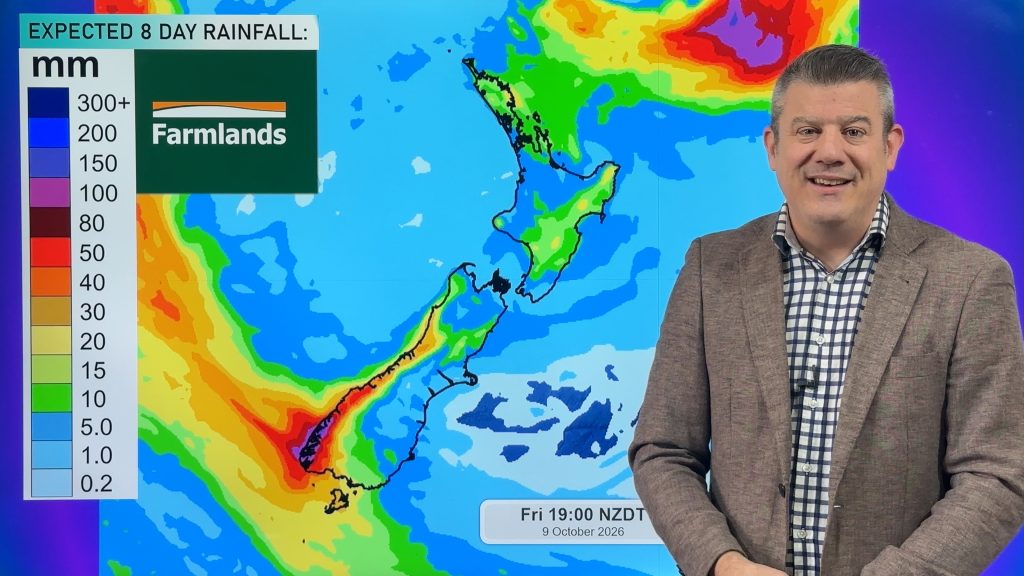
Cold front this weekend, high pressure for next week
A cold front is moving into the South Island tonight and then moves up the country over Saturday and Sunday,…
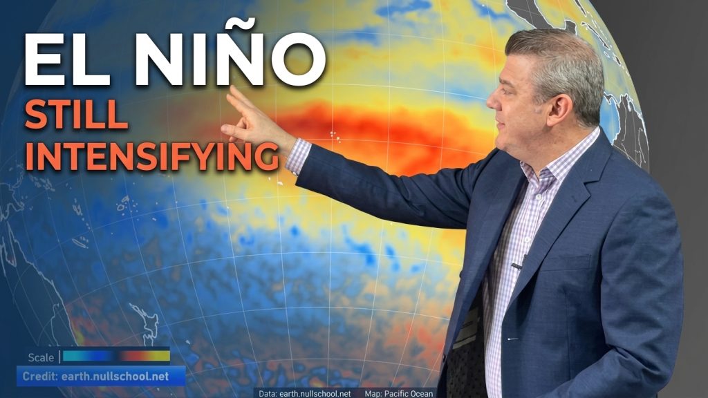
ClimateWatch: El Niño strengthens, OCTOBER update
El Niño continues to gain more power in the tropical Pacific and this is now affecting the weather pattern around…

