
NZ: Instability to produce some wet weekend weather, cold change next week
9/10/2026 12:54pm
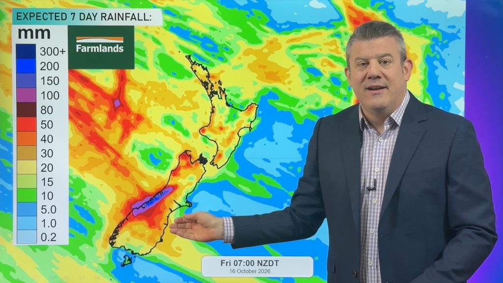
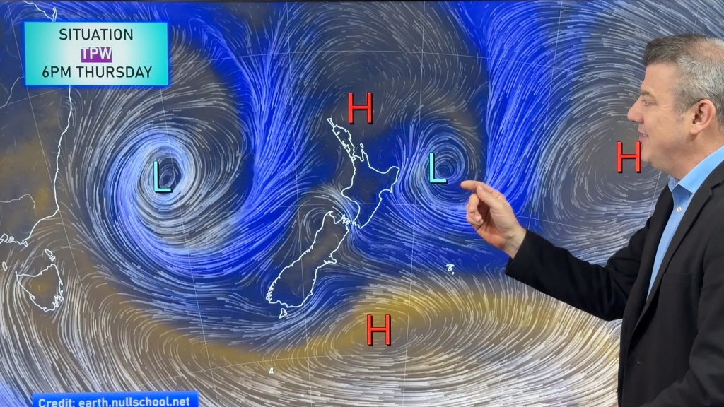
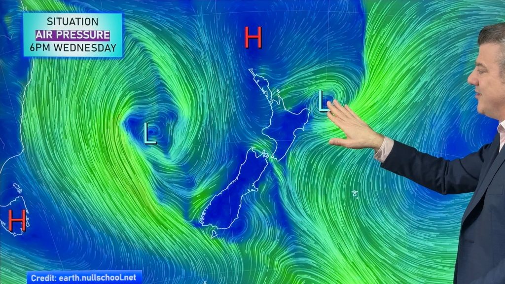
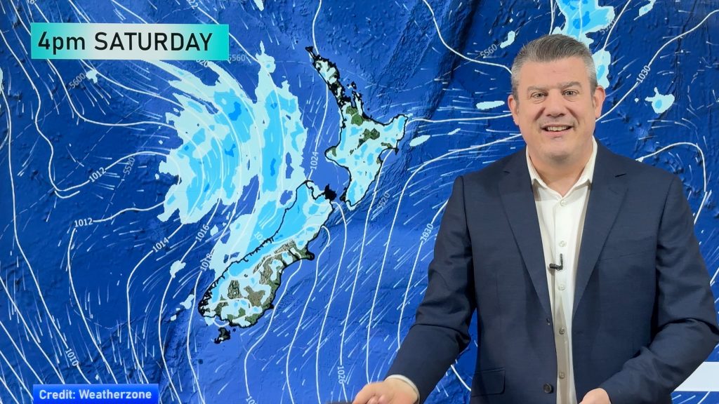
Afternoon downpours will expand on Saturday with possible isolated thunderstorms as atmospheric instability (due to lower pressure zones east and west of the North Island) and mild northerly winds work together.
By Sunday the low in the Tasman Sea weakens and moves into the North Island bringing patchy rain and showers from the west, mostly from Auckland to Taranaki, and there may be some isolated downpours and thunderstorms there in the west.
But there will still be large dry skies this weekend due to the various airflows.
Next week kicks off warm with a number of regions in the 20s – but a wintry change arrives mid to late week for the South Island and some frosts may even return to the interior. Daytime highs may have more than 11 degrees shaved off them in some locations from Monday to Wed/Thu.
Programming Note:
Phil is away for a couple of weeks from next week but will still be doing videos, just off camera and a slightly different format – and publishing times will likely be a bit later than usual.
Latest Video
NZ: Instability to produce some wet weekend weather, cold change next week
Afternoon downpours will expand on Saturday with possible isolated thunderstorms as atmospheric instability (due to lower pressure zones east and…
Related Articles
Weekend downpours in both main islands, temps increase
Warmer air will spread over more parts of NZ this weekend but it will come with showers, some downpours and…
Downpours & showers developing, but still some large dry areas
NZ is between two lows and one big high right now, bringing different airflows into different parts of each main…
Showers increasing next 7 days
Large dry skies are affecting much of NZ but a system exiting Australia today will affect our weather in the…

