ClimateWatch: OCT & SPRING – El Niño is a “hat on a hat” for NZ (Video + 18 Maps)
30/09/2023 3:00pm

> From the WeatherWatch archives
Originally published Friday PM — El Niño makes spring even more spring-like. As we go into October expect more westerly driven weather and more airflows coming from out of Australia’s desert at times. Also in the mix, colder airflows from the Southern Ocean.
Winter goes out with a blast – and that blast is the windy, unsettled, season of spring.
The spring combination including El Niño this year means windy days may be windier and warmer days hotter (mostly in eastern regions). But western and southern parts of both islands are typically cloudier, cooler and sometimes wetter in an El Niño Spring… this includes our largest city, Auckland.
El Niño is still building – and is not expected to peak until this coming January…meaning it will be peaking in summer and continuing on into Autumn next year. While NZ is in a location on earth that gets surprise rainmakers from both the tropics and the Southern Ocean, understanding that we’re only at the start of a climate driving event that lingers into Autumn of next year is a critical part of planning ahead.
It’s also important to note that El Niño isn’t a weather forecast – instead it helps drive our weather patterns across the entire Pacific Ocean over the coming months. For NZ, apart from us being very small in size land-wise, we’re also significantly influenced by weather from out of the Southern Ocean area too. This means it can be hard to be precise months in advance – but we can look at general patterns to get a better feel for what is developing or setting in across NZ weather-wise.
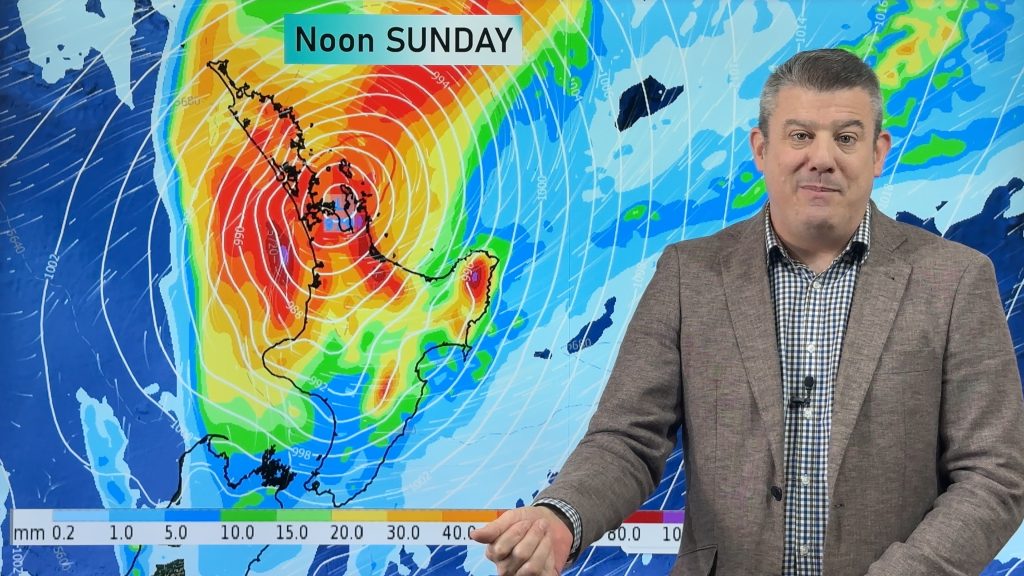
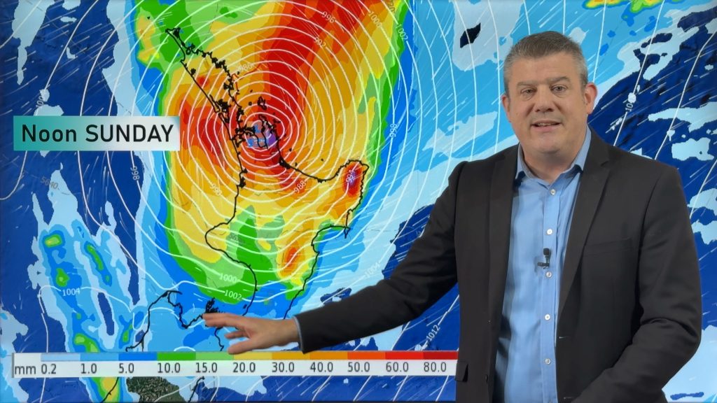
Our video and maps cover upcoming air pressure, temperatures, rainfall, trends and the latest sea surface temperatures around NZ, Australia and the Pacific Ocean over October and November – comparing those months with what historically has happened at this time of year over previous decades.
ClimateWatch is a monthly update tracking air pressure, temperatures, rainfall and what is driving our weather. It is not a climate change conversation. ClimateWatch is designed to help farmers, growers and those who work outdoors better plan ahead with most likely upcoming trends.
The Maps…


Bottom line shows Indian Ocean: Indian Ocean Dipole (IOD)
Credit: BoM


The maps above are just snap shots – in the days between changes will happen. This is not a weather forecast, but simply an outlook covering air pressure trends.
3 Maps above courtesy: Weatherzone and WeatherWatch.


Longe range data via: IBM / WeatherWatch.

Longe range data via: IBM / WeatherWatch.


- ClimateWatch is a premium product made by WeatherWatch.co.nz for RuralWeather.co.nz – in association with our official business partnership with IBM.
- WeatherWatch.co.nz is proud to be a small Kiwi business providing unique services to help farmers, growers, tradies and businesses across all parts of New Zealand – both private and public sector.
- Please Contact Us if you need unique commercial weather, climate and data services tailored to you.
Comments
Before you add a new comment, take note this story was published on 30 Sep 2023.


Add new comment
Peter Thomas Langer on 29/09/2023 12:55pm
it all depends how the tropics behave during el nino not all el ninos are dry not all la ninas are wet i have seen some dry la ninas
Reply
Marcus Adam on 29/09/2023 1:44am
Appreciate the very well presented and informative forecasting .
Also great to see Wairoa showing up on the weather maps !
I wonder why ?
cheers
Reply
WW Forecast Team on 29/09/2023 2:15am
Thank you very much for the feedback, it’s appreciated.
The maps auto-select locations and sometimes it picks smaller places (like Te Kuiti instead of Hamilton, or Geelong instead of Melbourne). But my Dad is from Wairoa, and my late grandparents – so I love seeing it! 🙂
Phil D
Reply