Climate Update: La Nina arrives – but will it actually impact New Zealand? (+Maps)
30/09/2020 10:38pm

> From the WeatherWatch archives
Scientists aren’t sure if this La Nina will be that powerful or long lasting – but La Nina has officially formed.
For New Zealand it’s unclear if this La Nina event will have the ‘oomph’ to really impact us. While Niwa has gone big (as they often do) saying rainstorms are coming, WeatherWatch is hesitating with a dry October forming (at least the first half) but some hints of more normal rainfall coming in.
However scientists at Australia’s Bureau of Meteorology (BoM) says this event won’t likely be a record breaker. Unlike Niwa, which is also a Government agency, BoM isn’t aggressively commercial so we put more faith into BoM climate forecasts than we do with Niwa. Unfortunately Niwa tends to clickbait these days for headlines and NZ mainstream ‘news’ outlets rarely challenge them on previous outlooks they got wrong.
“While models agree La Niña will continue well into summer 2020–21, around half the models predict a strong event, while 3 of 8 models suggest moderate strength. Overall, models do not currently anticipate this event will be as strong as the La Niña of 2010–12, which was one of the four strongest La Niñas on record” says BoM.
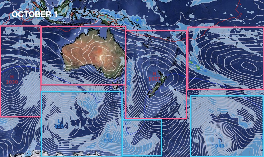
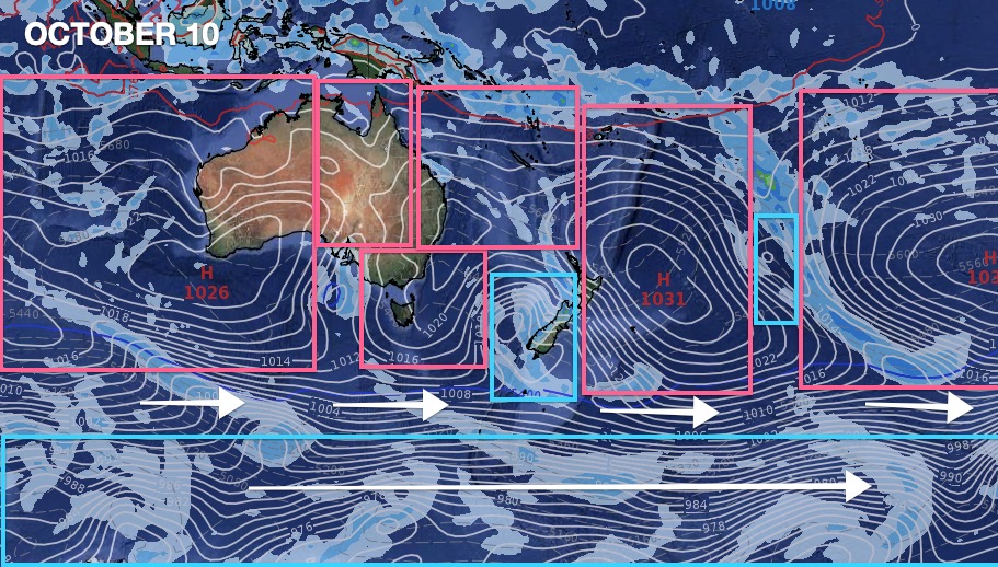
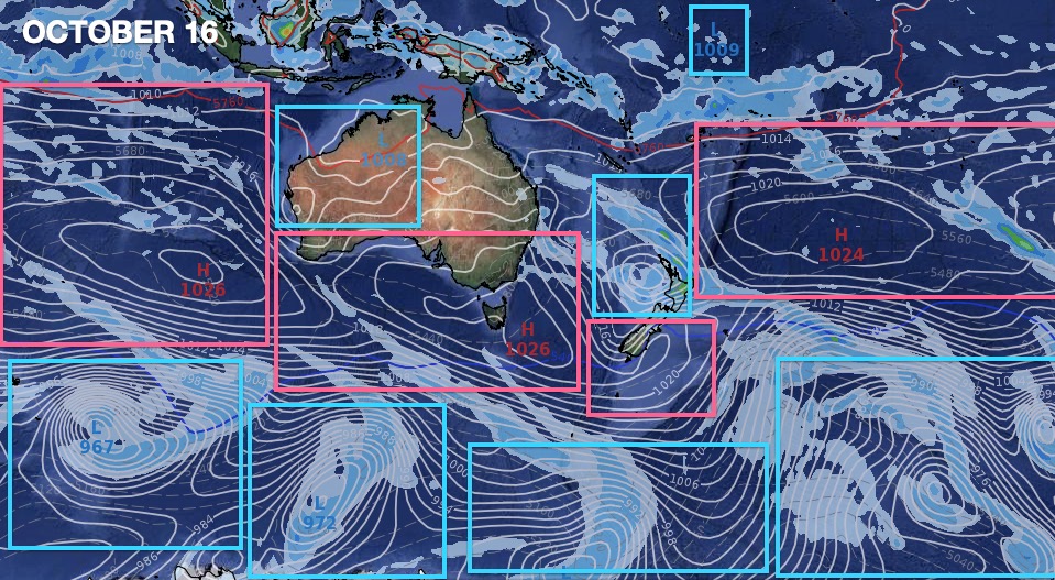
As for New Zealand, we’re half in the Roaring Forties belt of chaotic weather – a long way away from where La Nina is measured at the equator. So while we do see some signs of lows forming in the north later this month – for now it’s looking drier than normal. Not good news for Auckland’s water shortage and not great news for some farmers worried about a dry spring.
Even if normal rainfall returns in November and December places like Auckland need double normal rainfall to make a real difference on the often dry previous 20 months.
“La Nina this year is a borderline event for New Zealand” says WeatherWatch.co.nz forecaster Philip Duncan. “While tropical areas north of us are looking to be wetter, it’s less clear if NZ will be directly impacted or just a little affected. For now, we advise people to take a cautious approach to it being a reverse of the weather pattern NZ has had for the past 20 months and take some comfort in the fact we may get an uptick in northern rainmakers – but it’s by no means locked in yet”.
La Nina does increase the risk of tropical storms – but the chance of one hitting NZ directly isn’t always there due to our southern placement and very narrow width.
Scientists at BoM also suggest La Nina will fade earlier in 2021.


www.RuralWeather.co.nz / www.WeatherWatch.co.nz
Latest Video

Wintry weather coming: Snow, rain, wind & sunshine
A cold front is moving into NZ from Friday to Sunday with low pressure developing west of NZ and then…
Related Articles
Wintry weather coming: Snow, rain, wind & sunshine
A cold front is moving into NZ from Friday to Sunday with low pressure developing west of NZ and then…

ClimateWatch: JULY outlook & what El Niño means for NZ
El Niño is officially here and still getting stronger in the months ahead, but it’s harder to notice its effects…

Low pressure heading to NZ this weekend & into next week
Many regions have settled weather at the moment with frosts as far north as Auckland this morning, but still some…

