
8 day outlook as downpours & large dry areas move in
20/11/2026 12:34pm
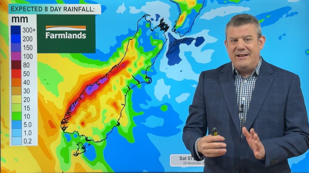
High pressure is going to move in across over the weekend but comes with hit and miss downpours that pop up during the day in both main islands.
The colder southerly flow we have at the moment will fade out – with west to north-west winds returning late this weekend and early next week, boosting temperatures again nationwide.
We track the highs and lows, the expected rainfall and downpours – and have 8 day NI and SI rainfall maps thanks to Farmlands.
Cyclone Xavier tracking to Samoa/Niue – View our latest (Friday) video here.
Latest Video
8 day outlook as downpours & large dry areas move in
High pressure is going to move in across over the weekend but comes with hit and miss downpours that pop…
Related Articles
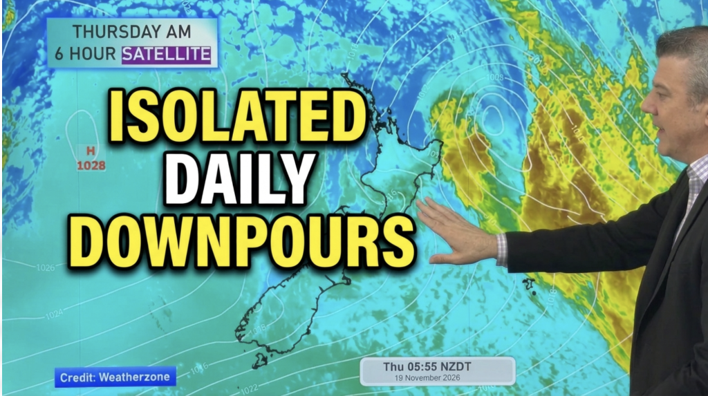
Daily downpours coming + lift in temps
High pressure will cross this weekend but it will drag in some cloudy periods and the chance of inland downpours,…
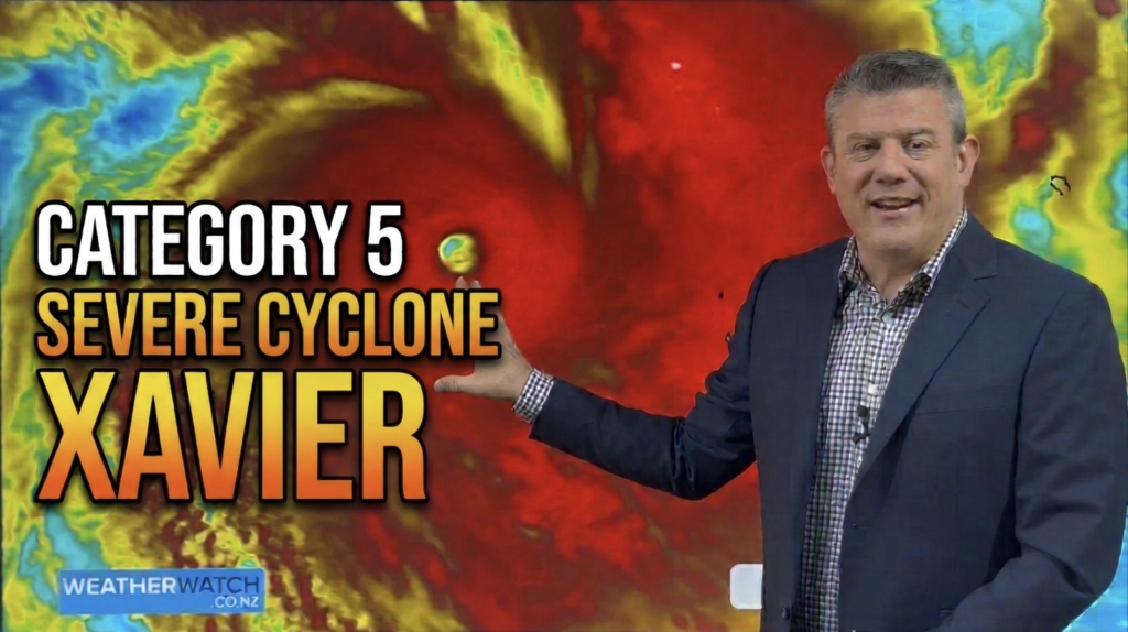
Cat 5 Severe Cyclone XAVIER
Xavier has strengthened further overrnight and today is a Severe Category 5 Tropical Cyclone in the South Pacific around the…
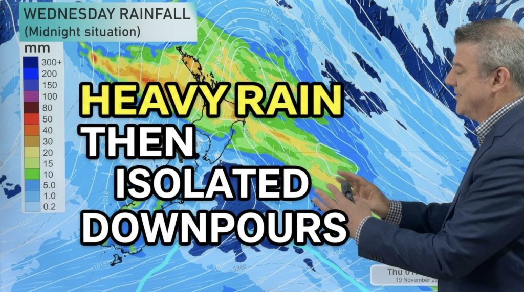
Downpours, colder changes – then high pressure lifts
Low pressure is today crossing the upper NI with widespread rain and downpours, while the SI has a colder change…