
Winter cold returns! Frost risk expands
23/09/2026 12:04pm
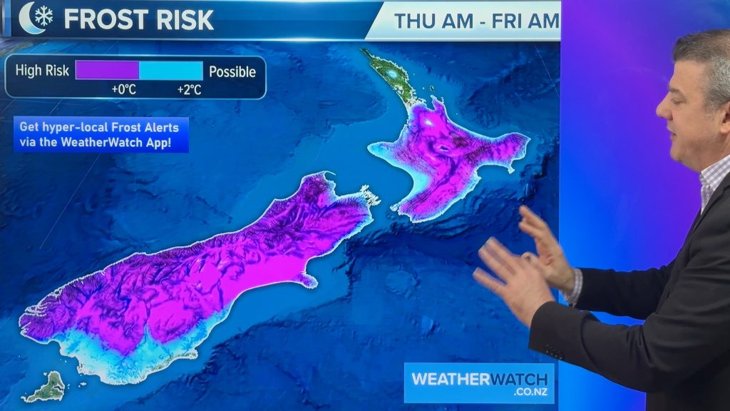
Tonight will be a cold night nationwide as polar air smothers the country bringing a return to frosts tonight (or tomorrow night) as the southerly heads northwards.
There are plenty of showers, but due to the windflow changing directions from day to day these showers continuing affect different regions. We tell you when and where.
Despite Saturday briefly warming up, the next polar change comes in on Sunday/Monday.
Frosts may be a problem for growers, while wind chill will be an issue for newborn livestock, especially newborn lambs. You can view hourly windchill temperatures for any part of NZ via the WeatherWatch app: https://www.weatherwatch.co.nz/mobile-app
We have the latest frost risk map, 7 day rainfall and wind gust and temperature maps covering the main weather features coming up.
Latest Video
Winter cold returns! Frost risk expands
Tonight will be a cold night nationwide as polar air smothers the country bringing a return to frosts tonight (or…
Related Articles
Frosts, snow, gales & windchill – Next 6 days…
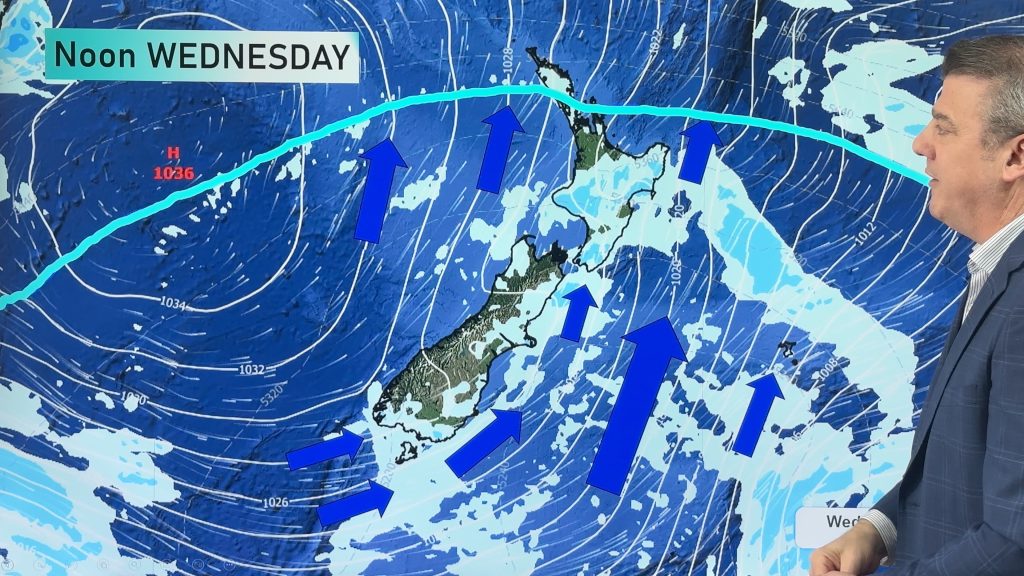
Colder weather is yet to spread nationwide, doing so over the next few days ahead with the polar boundary going…
Frost alert as big polar change moves in
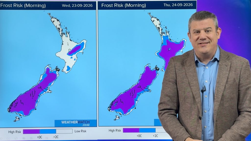
A cold airflow will spread over NZ this week, starting in the SI tonight and going nationwide mid week. It…
Weekend gales, frosts & polar air next week
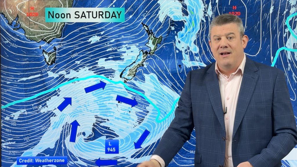
Low pressure is today over the upper North Island, replaced by a surge of gale west to south-west winds this…

