Windy Saturday, Sunday and Monday – we track the gales (+4 Maps)
5/08/2021 10:43pm

> From the WeatherWatch archives
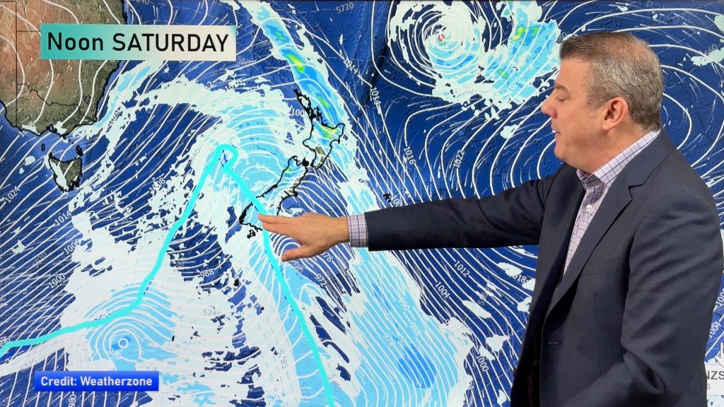
The forecast for this weekend and going into Monday is windy as two big systems disrupt New Zealand’s weather.
Windy weather moves into northern NZ overnight tonight and across Saturday and while there are some similarities to Tuesday’s set up the worst of the winds this time look to be more focused in Northland and actually fade out to some degree the further south you go over Auckland region.
A few weather related power outages are possible overnight tonight in Northland and perhaps rural north west Auckland as winds gust 90km/h and maybe higher in some isolated coastal or higher altitude spots. Winds in Auckland city don’t look as intense but Saturday will be blustery in some areas.
A windy Saturday is on the way for the upper North Island with gusts to gale force (but for many this may be quite normal windy winter weather).
In fact, windy weather will move across a number of regions with blustery conditions on Saturday. These windy westerlies will push temperatures up in the east – for example Hawke’s Bay might reach close to 20 degrees tomorrow (but single digit highs on Mondays with the southerly!!).
There is another surge of gales on Sunday night/Monday with the main cold blast moving up NZ – and these winds will be starting from the south and moving right up the nation with severe gales possible in coastal areas.
We’ll have more details over the weekend on Sunday/Monday’s windy blast.
For hyper-local hourly winds and wind gusts please visit www.RuralWeather.co.nz


Comments
Before you add a new comment, take note this story was published on 5 Aug 2021.


Add new comment