Weather headlines (x3) for Thursday: Showers around the periphery, Models consistent, Nice weekend eastern South Island
4/05/2022 7:00pm

> From the WeatherWatch archives
Here’s what is making the weather headlines today.
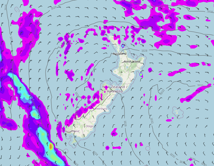
SHOWERS AROUND THE PERIPHERY
The airflow moving around a ridge of high pressure over New Zealand brings a few showers to Gisborne / East Cape, Coromandel northwards and then the West Coast south of Greymouth. Elsewhere enjoys dry weather.
MODELS HAVE STAYED CONSISTENT
Weather models have been pretty consistent lately, often beyond 4 or 5 days out models can change quite radically bringing various outcomes. But yes recently models have been sticking to the plan for the most part in terms of the high pressure that has hung around over us recently and the front arriving for the South Island on Sunday then how the airflow changes to the south starting from Monday next week.
Mid next week we get high pressure moving in and conditions become quite settled again.
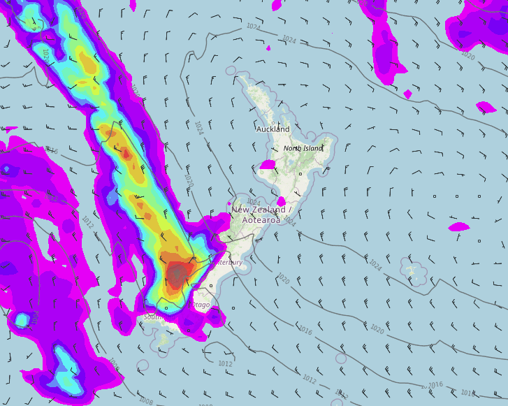
FOG FREE IN THE EAST FROM SATURDAY – SOUTH ISLAND
Fog or low cloud should be gone from the eastern South Island by Saturday morning, Friday morning could actually be fog free too but there still appears to be the chance of some low cloud in some spots before clearing.
This weekend temperatures for the eastern South Island are nice and warm, getting into the late teens or early twenties.
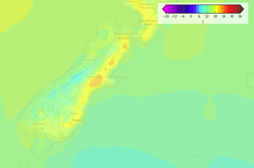
Temperature – Saturday 3pm 
Temperature – Sunday Midday
Latest Video

Slow go for northern low & southern cold
For the next few days low pressure will crawl over the upper North Island, driving in rain as far south…
Related Articles
Slow go for northern low & southern cold
For the next few days low pressure will crawl over the upper North Island, driving in rain as far south…

Slow moving low to track over northern NZ
A low pressure zone will slowly cross the North Island over the coming days, bringing hit and miss pockets of…

NI low pressure, SI polar change
Low pressure will move over the upper North Island this week, bringing hit and miss pockets of heavier rain into…

