Weather headlines (x3) for Monday: Southwest airflow, Highs this week, High pressure from Thursday / Friday
22/05/2022 7:00pm

> From the WeatherWatch archives
Here’s what is making the weather headlines today.
SOUTHWESTERLY AIRFLOW FOR MOST OF THIS WEEK
Through to about Thursday expect a southwesterly airflow to lie over New Zealand, showers at times in the west and far south. Eastern regions are dry with sun today and Tuesday. On Wednesday the odd shower works into eastern areas from afternoon.
Thursday has southwesterlies too but they will start to ease for the South Island as high pressure moves in.
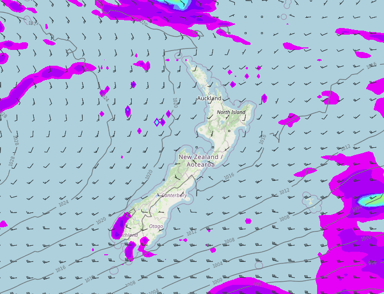
Monday 3pm 
Tuesday 3pm 
Wednesday 3pm 
Thursday 3pm
DAY TIME HIGHS THIS WEEK
Day time highs in the mid teens for eastern regions and most of the North Island today and Tuesday apart from the Central Plateau, a touch cooler for the West Coast and about the far south. Wednesday afternoon on wards starts to cool down in the east then Thursday on wards though to the weekend day time highs will likely range between 10 and 15 degrees for most regions.


HIGH PRESSURE MOVES IN THURSDAY / FRIDAY
High pressure starts to move in from the Tasman Sea on Thursday, covering most of the country on Friday. Naturally this will bring some settled weather and frosty conditions, mainly about the lower South Island on Thursday morning then elsewhere Friday morning.
We do have a frost risk for the next few mornings also, check out the upcoming frost risk here.


Latest Video

Large low brings rain, downpours & some snow – gets colder as the week progresses
Low pressure will cross the upper North Island in the days ahead and that set-up actually pushes more heavy rain…
Related Articles
Large low brings rain, downpours & some snow – gets colder as the week progresses
Low pressure will cross the upper North Island in the days ahead and that set-up actually pushes more heavy rain…

WeatherWatch App launches real-time local lightning tracker!
A bolt out of the blue! WeatherWatch has launched a live, real-time lightning tracker, enabling Kiwis to gain access to data provided by the…

Polar airflow + northern low = pockets of heavy rain & snow
A colder change is coming – and so too is a large low which will develop and grow over northern…

