Weather headlines (x3) for Monday: Rain gets heavy in the north, Big low on Tuesday, Another low on Friday
10/07/2022 7:00pm

> From the WeatherWatch archives
Here’s what is making the weather headlines today.
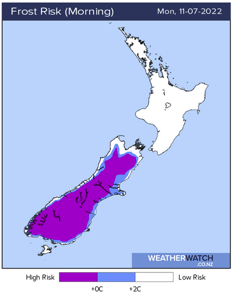
FROSTY IN THE SOUTH, RAIN GETS HEAVY IN THE NORTH
Mainly settled for the South Island today thanks to high pressure, this does mean a very frosty start to the day for areas south of about Banks Peninsula. Some cloud further north may prevent frosts from getting too heavy.
Meanwhile for the North Island we have a building easterly airflow, rain in the northeast (East Cape through to Northland) may start to become heavy later this afternoon or evening then overnight rain with heavy falls sinks down into the lower North Island. Rain may also become heavy overnight or perhaps around dawn on Tuesday for Nelson and Marlborough.

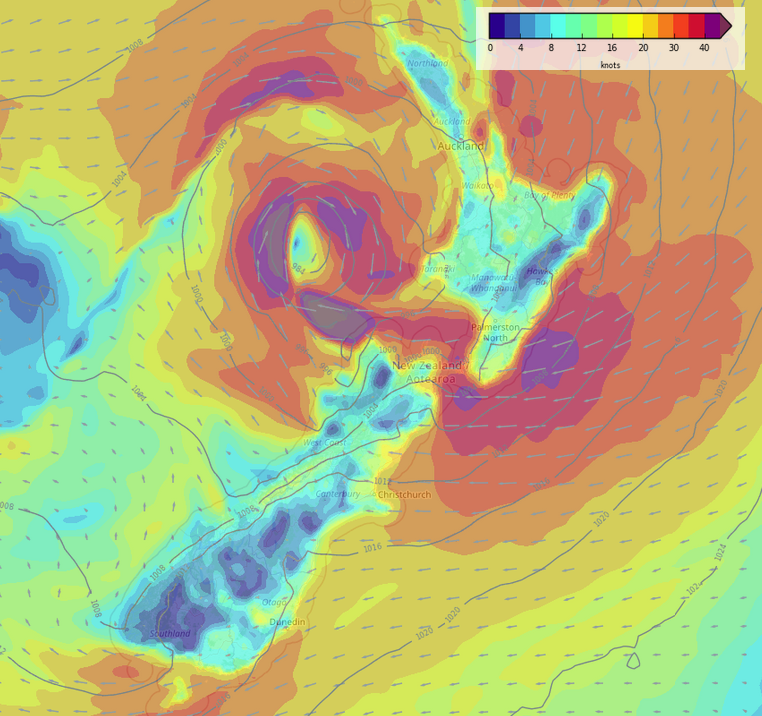
MSLP / Rain map – 3pm
BIG LOW ON TUESDAY – IT HAS IT ALL
A deep big low crosses down over the country on Tuesday, there will be heavy falls for many regions but Nelson / Marlborough and down into Canterbury looks to get the heaviest rain. A front crossing over the North Island moving west to east brings heavy falls as it moves through also.
Strong winds will wrap around this low with gales likely about coastal spots. Then finally we can expect some heavy snow to fall about the South Island high country. Down to 500m about Otago through to Mid Canterbury then lifting to 700m for northern parts of North Canterbury, above 800 to 900m for Nelson and Marlborough.
For details on watches and warnings coming in from Metservice on this low please visit this page here.
Phil will no doubt have videos out today and Tuesday (midday) covering this event so please look out for those, for more info on your specific location please visit ruralweather.co.nz and use the search function.

MSLP / Rain map – Tuesday 9:00am 
MSLP / Rain map – Tuesday 3:00pm 
MSLP / Rain map – Tuesday 9:00pm
Wind map – Tuesday 9:00am 
Wind map – Tuesday 3:00pm 
Wind map – Tuesday 9:00pm


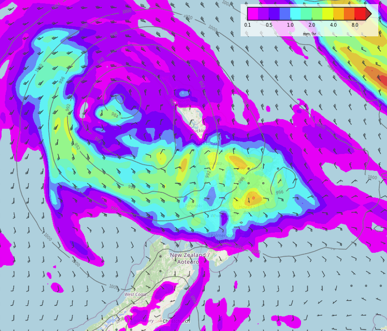
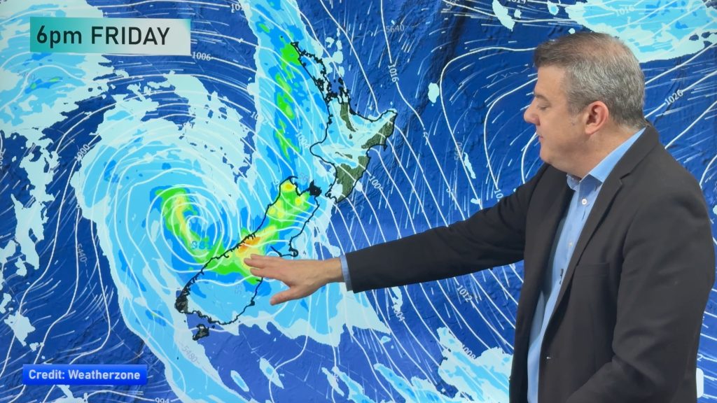
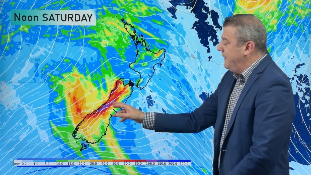
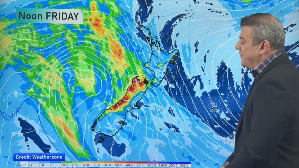
ANOTHER DEEP LOW ON FRIDAY
Another deep low moves over the country on Friday at the end of the week, although not as big as Tuesday’s low. Friday’s low mainly affects the North Island with more heavy rain in the forecast and very strong winds. The top of the South Island may see some heavy rain and strong winds depending exactly where this low tracks. Further snow is likely in the South Island high country but it shouldn’t be heavy.
Please check back here at weatherwatch.co.nz for more video’s and articles as we move forward.
MSLP / Rain map – Friday 6:00am 
MSLP / Rain map – Friday 3:00pm 
Wind map – Friday 3:00pm
Comments
Before you add a new comment, take note this story was published on 10 Jul 2022.
Latest Video
Colder change moving in this weekend, frosts for some next week
Low pressure will cross over the South Island on Friday night bringing more heavy rain to western and northern parts…
Related Articles
Colder change moving in this weekend, frosts for some next week
Low pressure will cross over the South Island on Friday night bringing more heavy rain to western and northern parts…
Rain and showers, then colder and drier next week
Low pressure is moving into NZ and will bring heavy rain to the western side of the South Island and…
Rain and wind, then a temperature drop
Milder winds will affect the nation over the next day or two as a messy low pressure zone moves in…


Add new comment