Wednesday’s weather headlines (x3): Heavy rain moves in, humidity & latest on end of week low
8/02/2022 6:00pm
> From the WeatherWatch archives
Here are the main weather headlines making news this Wednesday.
MORE HEAVY RAIN ON THE WAY
Heavy rain is expected to develop again for the West Coast of the South Island this afternoon north of Fiordland before easing on Thursday, then as we head towards this coming weekend some inclement weather is due for the North Island thanks to a tropical low or possible ex tropical cyclone bringing rain there and it may be heavy.
MUGGINESS GRAPH FOR THE UPPER NORTH ISLAND – THE LATEST
Humidity levels continue to be high for the North Island, especially the upper North Island this week.
Graph below showing a high dew point temperature for Auckland (green line), a dew point around 20 degrees feels quite tropical. On Saturday this peaks around 23 degrees but could get to around 24 with an air temperature of 26 or 27, that is basically the same as being in Fiji, quite remarkable. It finally starts to drop away on around Sunday and more so Monday once a big low moves south into the Tasman Sea. You can see this graph by clicking here.
More information on dew points by clicking here.

LOW AT THE END OF THE WEEK – THE LATEST
The tropical low or more than likely ex tropical cyclone at the end of the week is due to get close to New Zealand on Sunday and Monday, the latest maps don’t have it hitting the North Island but dropping south into the Tasman Sea out west. The North Island is still likely in for some rain over the course of Friday through Sunday but maybe not as intense as it could have been. Still, there is room for things to change, the old adage of this not being locked in yet rings true but as we get closer to the end of the week confidence will increase as to what looks more likely to happen.
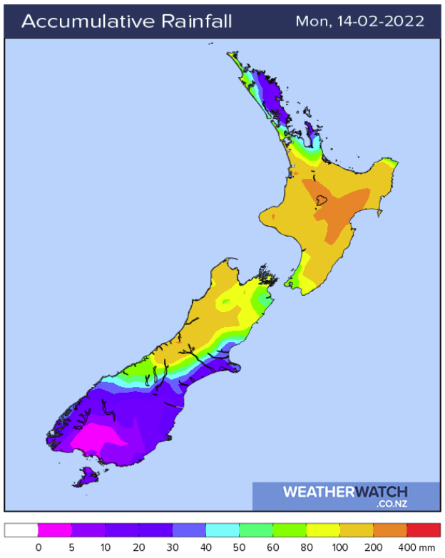
Looking further afield maps are showing this low moving over the South Island on the 15th bringing rain to the West Coast. You can see these maps by clicking here.

Latest Video

Snow, rain showers & cold polar southerlies set to return
Friday will be a wintry day across NZ as the next cold front arrives, bringing snow to lower levels of…
Related Articles
Snow, rain showers & cold polar southerlies set to return
Friday will be a wintry day across NZ as the next cold front arrives, bringing snow to lower levels of…

Frosts, late week rain & another cold weekend coming
High pressure will cross NZ over the next few days meaning more cold nights/mornings with frosts, but a nor’wester will…

NZ: Cold & windy, then calm & frosty
Downpours, some squally with the chance of thunderstorms and even small tornadoes are possible for parts of NZ over Friday…

