
NZ: Cold & windy, then calm & frosty
24/07/2026 12:26pm
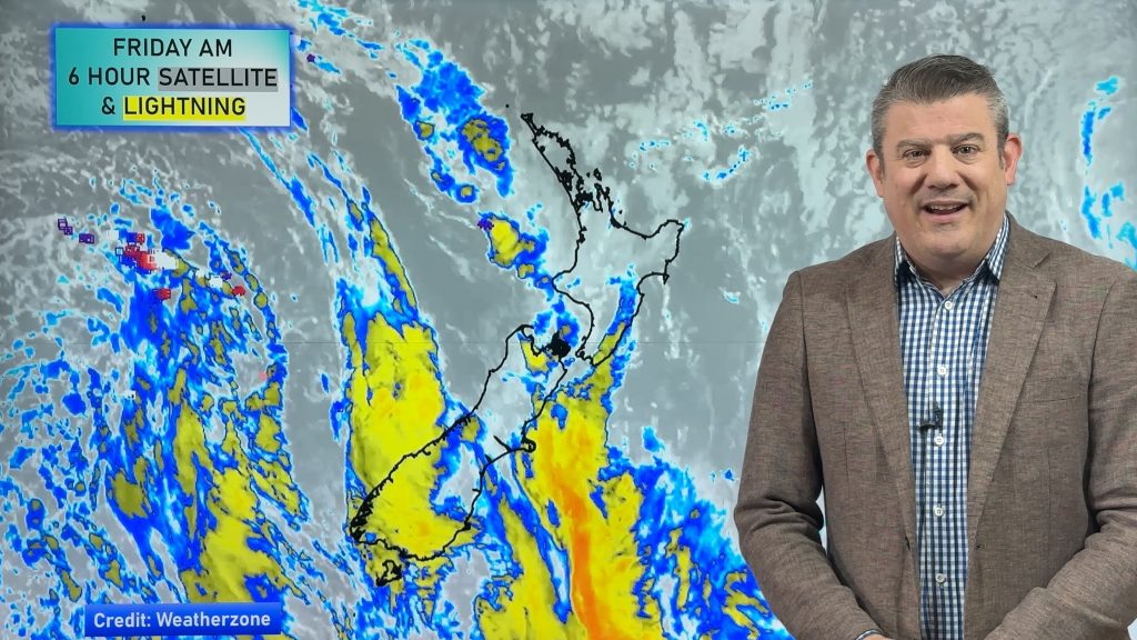
Downpours, some squally with the chance of thunderstorms and even small tornadoes are possible for parts of NZ over Friday PM and Saturday AM as a cold change sweeps over NZ. The sub-antarctic airflow will drop temperatures right across NZ, bringing snow to low levels for a time overnight tonight and Saturday for the South Island, and then snow on the Central Plateau and North Island mountains/ranges going through the weekend.
There will be large dry areas in the mix – and not everyone will have gusty winds, but there is a surge of potentially severe gale west to south-westerlies along the western North Island and around Auckland on Saturday.
Over Sunday and Monday winds ease back further, allowing heavy frosts to spread nationwide with frosts possible as far north as Northland early next week.
High pressure returns for many regions for a time next week with light winds and drier skies, before the next cold front approaches the South Island and weakens as it does so.
*Programming Note: Our Monday video may be published a couple of hours later than usual.
Latest Video
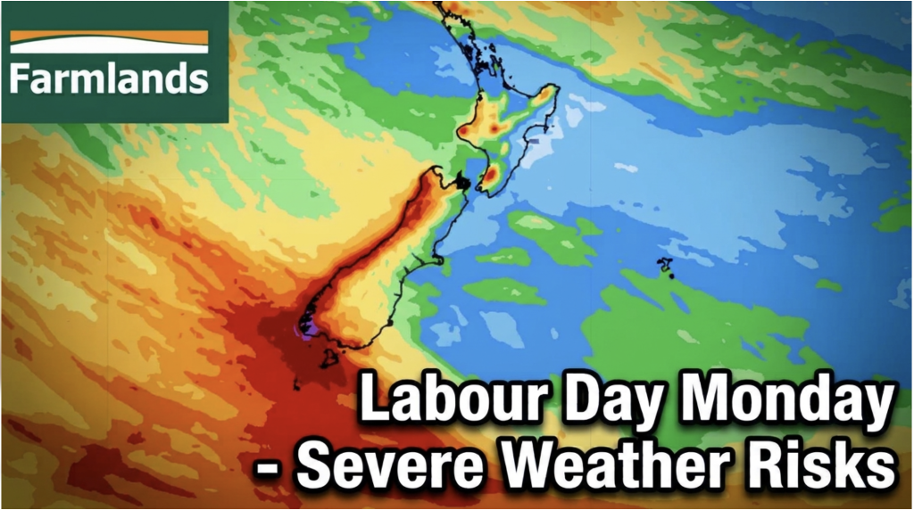
Labour Day severe weather risks – but large dry areas this weekend
High pressure shapes our weather this weekend but by Monday low pressure will affect the south bringing severe nor-west gales…
Related Articles
Labour Day severe weather risks – but large dry areas this weekend
High pressure shapes our weather this weekend but by Monday low pressure will affect the south bringing severe nor-west gales…
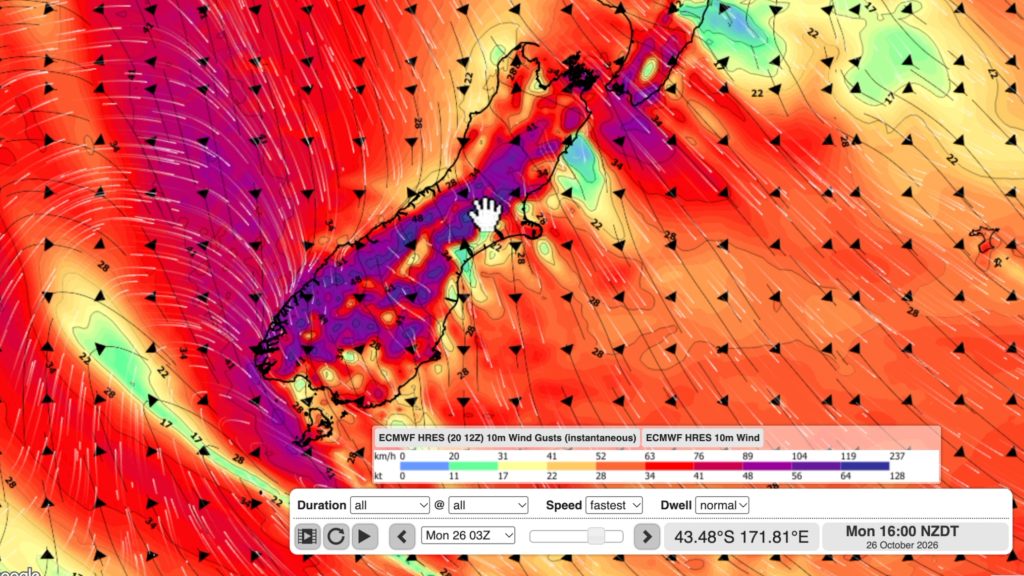
NZ: Long Weekend update, Labour Day severe weather risks
A very large and slow moving high pressure zone will slip off NZ to the east of the North Island…
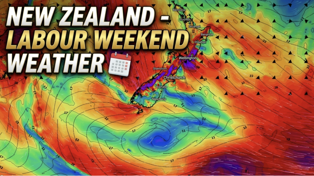
Weather this week & Labour Weekend
High pressure dominates NZ’s weather this week, but slides off much of the country by Labour Day Monday. Despite the…

