Weather Headlines for Saturday – 17th Jan EX TC Cody brushes past then cold front
14/01/2022 4:00pm

> From the WeatherWatch archives
Goes without saying, it’s all about Cody
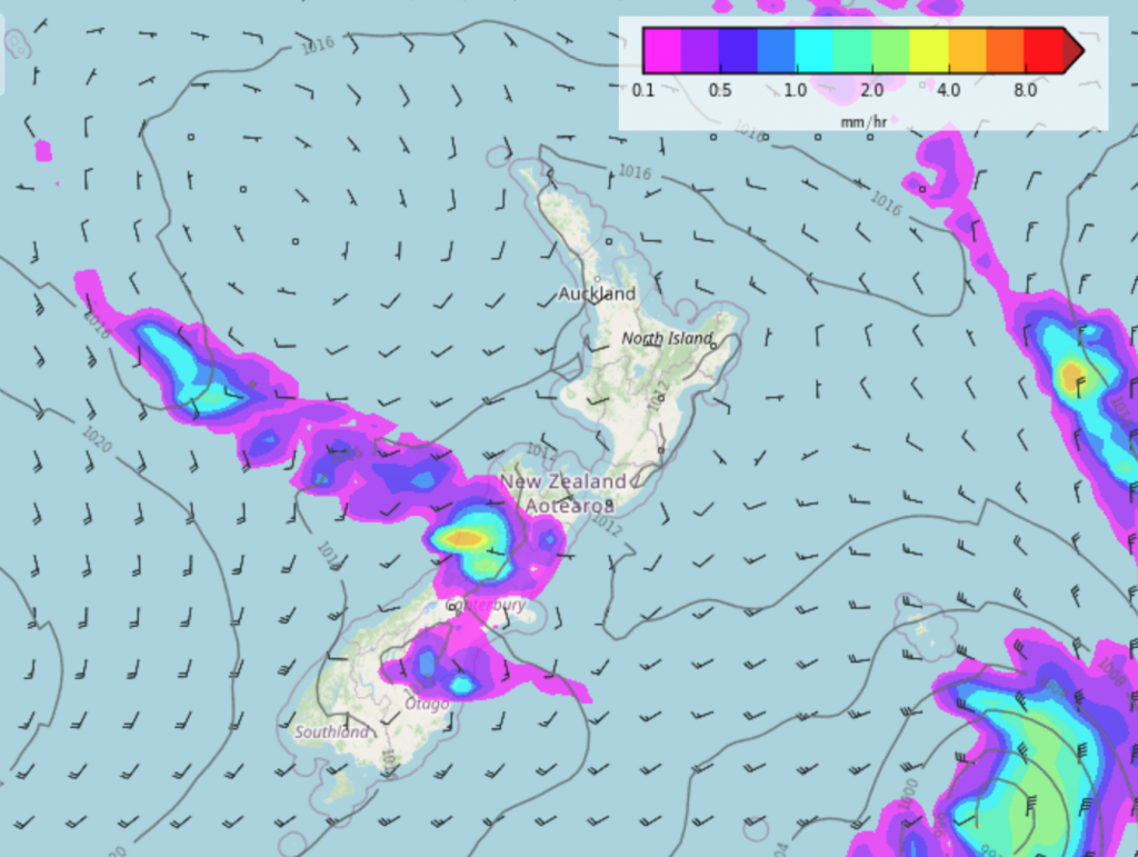
Tropical Cyclone Cody is still moving in. It looks to mainly affect northeastern parts of the North Island as it moves through, especially East Cape, Gisborne and Hawkes Bay.

More here.
https://www.weatherwatch.co.nz/content/video-special-update-on-cyclone-codys-path-to-new-zealand
Cold front due mid next week
A cold front moves northwards around the 19th January (Wednesday next week) bringing in a cool change and some rain / showers to the South Island, this change reaches the North Island on the 20th.
Settled then some rain perhaps
From the 22nd of January it’s looking mainly settled and dry however from the 25th or 26th some rain may move in again.
https://www.weatherwatch.co.nz/maps-radars/rain/rain-forecast
Comments
Latest Video

Rain & showers this weekend, colder change next week
Some places will warm up over the next day or so as a nor’wester out of Australia moves across NZ,…
Related Articles
Rain & showers this weekend, colder change next week
Some places will warm up over the next day or so as a nor’wester out of Australia moves across NZ,…

Temperature changes for some regions ahead of heavy West Coast rain
A nor-wester is about to kick in and it’s coming from out of Australia, boosting temperatures in some regions going…

NZ 7 day forecast: Showers, temp changes and heavy West Coast rain
NZ has a fairly messy forecast over the next 7 days, but the main feature will be heavy rain on…


Peter Thomas Langer on 14/01/2022 7:28pm
this is the biggest joke the worlds seen for the past few years all cyclones have gone that way ……WHY because its the same weather pattern for that long big highs over the north island and rain over aus because the highs stop it from comming
Ryan Cadwallader on 14/01/2022 9:26pm
I think they are aware of that dude.