
NZ: A shift to westerlies next week, cold air to ease
6/08/2026 12:52pm
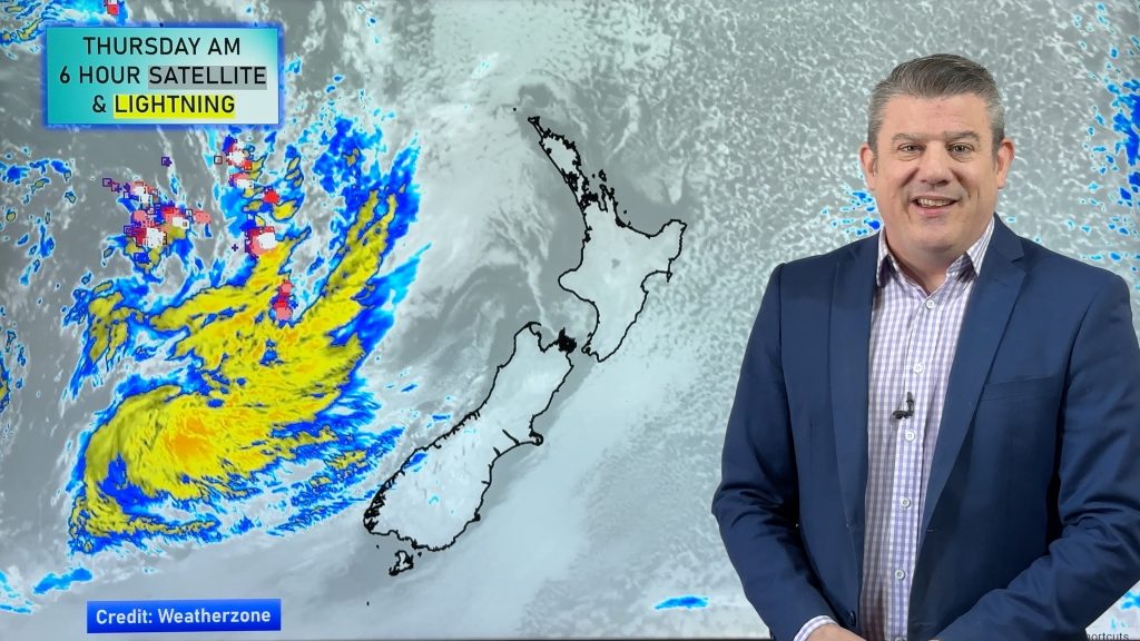
Big frosts this morning and more heavy frosts are expected tonight, but a shift in windflow this weekend will see more northerly quarter winds developing, and next week more westerlies kicking in.
There is expected to be some weekend rain and showers – although still some large dry areas around NZ – we track where this wet weather will most likely be. Heavy rain is possible in the north-west corner of the South Island, the West Coast and up to Mt Taranaki.
Next week eastern NZ looks driest and sunniest as those westerlies arrive – bringing more rain to the West Coast and showers for the western North Island. There will also be a lift in overnight temperatures from this weekend into next week for many regions, hopefully helping ease those power bills for you!
We have your NZ weather outlook through to the middle of next week.
Latest Video
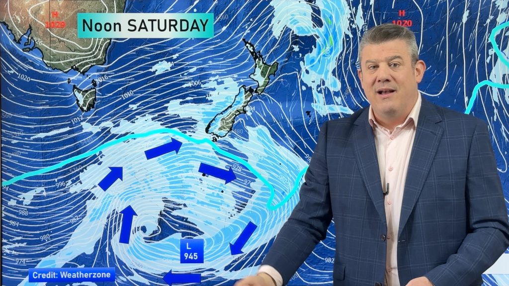
Weekend gales, frosts & polar air next week
Low pressure is today over the upper North Island, replaced by a surge of gale west to south-west winds this…
Related Articles
Weekend gales, frosts & polar air next week
Low pressure is today over the upper North Island, replaced by a surge of gale west to south-west winds this…
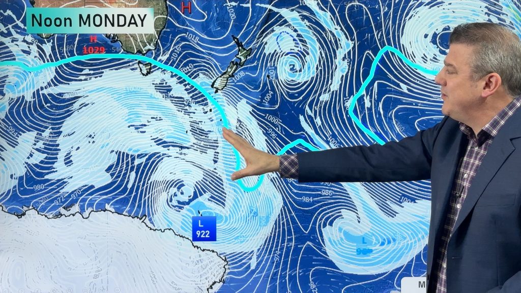
Rain, showers, frosts – then windy again
In true early-spring fashion we have more windy weather on the way, but first low pressure is crossing the country…
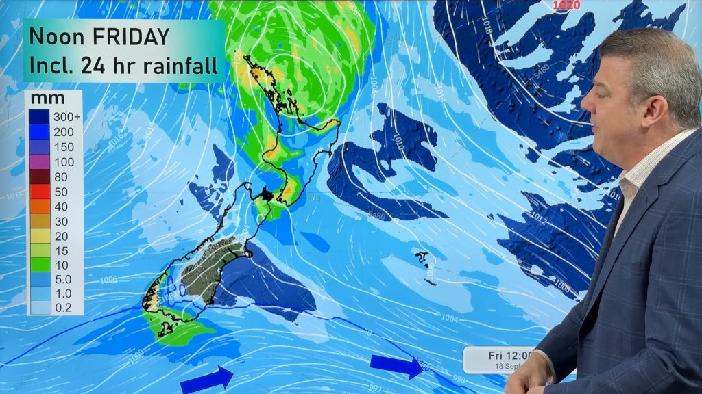
Cold front, low pressure, then windy westerlies kick back in
A cold front is today and tomorrow moving into the country, with coldest weather in the southern half of the…

