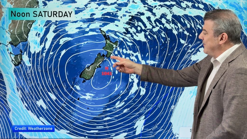
VIDEO: Rest of August = more high pressure, NZ cold front Sunday
22/08/2023 11:41pm

> From the WeatherWatch archives
A weak cold front is coming to NZ this weekend and next Monday but for the most part NZ is leaning drier than average for the remainder of August with a big uptick in high pressure.
There will still be coastal showers around both islands and by Sunday and Monday a colder change heads up with NZ with even a dusting of snow into the North Island on Monday.
Australia has plenty of coastal showers in the east – otherwise high pressure is dominating much of the continent for the rest of August. September may see low pressure in the Tasman Sea – so we’re not getting too carried away just yet with this drier phase moving in.
We have your weekend outlook and forecast to Monday across New Zealand and Australia.
Comments
Before you add a new comment, take note this story was published on 22 Aug 2023.


Add new comment
janet on 24/08/2023 4:40am
hi there have you done update weather for thursday 24th august as its not showing thankyou
Reply
WW Forecast Team on 24/08/2023 5:52am
Hi Janet, it was actually published on our homepage but just not showing up on the video page. All sorted now 🙂
Regards,
– WW
Reply