VIDEO: NZ’s weather forecast to March 1st
23/02/2021 8:38pm

> From the WeatherWatch archives
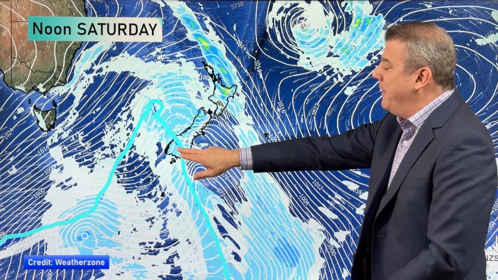
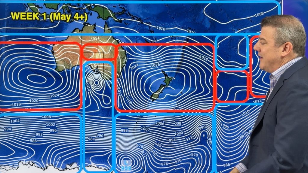
New Zealand isn’t really under high pressure or low pressure for the days ahead, with a messy forecast that sees cloudy areas and a few isolated showers in both islands.
The tropics are firing up as we head into March while high pressure continues to dominate south of Australia and drift towards the lower South Island.
Comments
Before you add a new comment, take note this story was published on 23 Feb 2021.


Add new comment
David on 24/02/2021 2:32am
Just wondering , what is the red line squiggling across the map , about 1/4 of the way down ?
Reply
WW Forecast Team on 24/02/2021 2:49am
Hi David – that’s an air thickness line, north of the northern jetstream. Air north of this line is thicker/heavier and more moisture laden (humid/muggy). Put simply – when that redline drops down over NZ we get direct tropical air. Likewise, the blue line to the south indicates Antarctic air south of the southern jetstream. NZ sits between these two areas – in a “Goldilocks” belt of weather that isn’t too hot and isn’t too cold. 🙂
Cheers
Phil D
Reply