VIDEO: NZ: Severe gales coming Fri, Sat and again Mon
28/09/2023 7:34am

> From the WeatherWatch archives
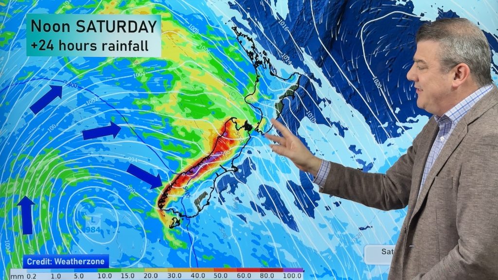
Very windy weather will cross NZ over the coming days with the potential for damaging gusts in both islands over Friday and Saturday as the next surge moves in – then again in southern NZ on Monday as another surge of gales arrive.
It means temperatures will be up in the east for a time, before dropping next week. The West Coast has the most rain while eastern areas are driest.
We have your forecast through to Tuesday.
Don’t forget – Thursday’s we also produce a 7 day Australia-only forecast, out later today.
Also, tomorrow Friday is our next ClimateWatch update for the month of October and how Summer is shaping up now that El Nino is here.
Comments
Before you add a new comment, take note this story was published on 28 Sep 2023.


Add new comment
Kingsley on 28/09/2023 3:16am
So, when’s this dry change we keep hearing about?
Reply
WW Forecast Team on 28/09/2023 4:28am
Usually it develops later in spring. As our video last week detailed, some parts of NZ get a wetter spring. Full details here: https://www.youtube.com/watch?v=SN1VzCgrQZs
– WW
Reply
Kingsley on 28/09/2023 5:56am
All well and good thanks but the headlines have been “El Nino means drier weather and possible droughts” which actually sounds quite nice when it’s routinely chucked it down for no good reason in Auckland for the entire year!!
Reply