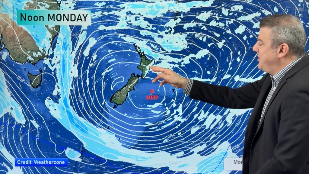
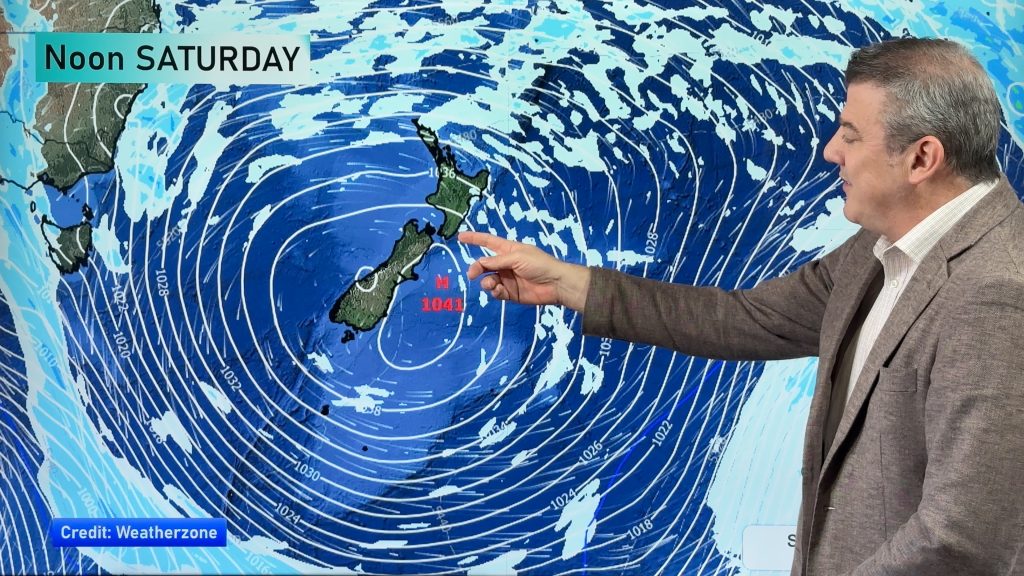
VIDEO: NZ has a burst of wind, rain from the west – then a colder weekend
24/06/2025 12:32am

Milder north to north-west winds, with subtropical connections for some, will ramp up on Wednesday and Thursday ahead of a cold front exiting Australia today (and reaching NZ for Thu/Fri).
The front will clear NZ by the weekend with a colder south to south-west flow returning – bringing polar air back into the South Island but mostly dry skies in the east of both main islands.
We break down wind, heavy rain, showers, thunderstorms and temperature movements through until Monday of next week – along with a look back at sunshine hours over the past couple of weeks which show a number of regions have been brighter/sunnier than usual this winter…we tell you where, and which regions have been gloomier.


Add new comment