(VIDEO) NZ 7 Day: Variety in the weather, but Southern Ocean storms waking up
4/07/2025 12:28am

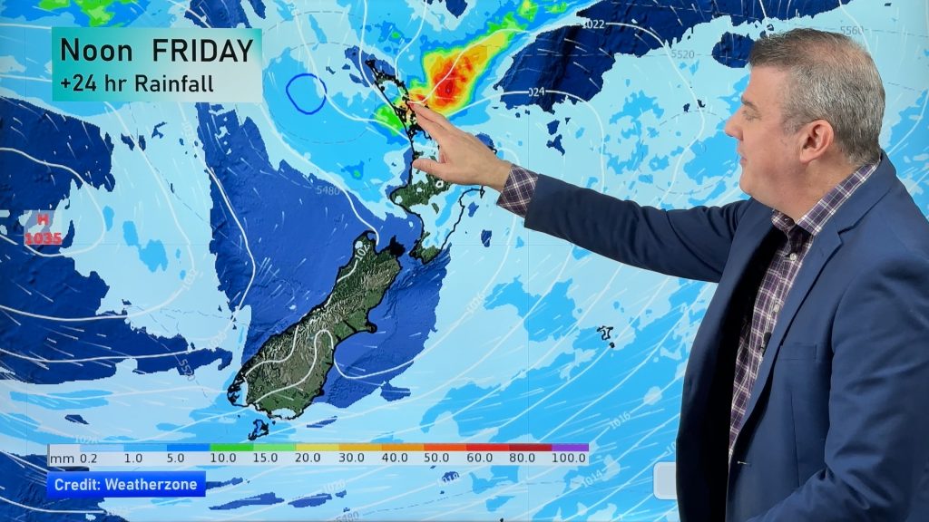
Low pressure moves in to NZ from the Tasman Sea this weekend and completely falls apart – bringing downpours and isolated thunderstorms as it does so, mostly for the upper North Island, western North Island and the upper South Island.
By Sunday to Tuesday high pressure crosses NZ – and through next week milder northerlies return after a cooler start to the week.
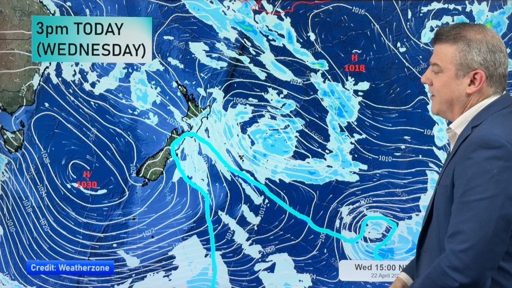
By later next week the Southern Ocean storms cover most of the weather maps – bringing a wintry burst of severe weather (and a lot of westerlies) into SE Australia – but before that reaches NZ we’re on the milder side of things.
We also have your 7 day rain forecast for New Zealand.
Have a great weekend!


Add new comment