VIDEO: Australia’s rain relief – Who gets wet weather & who misses out
29/05/2024 11:10pm

> From the WeatherWatch archives
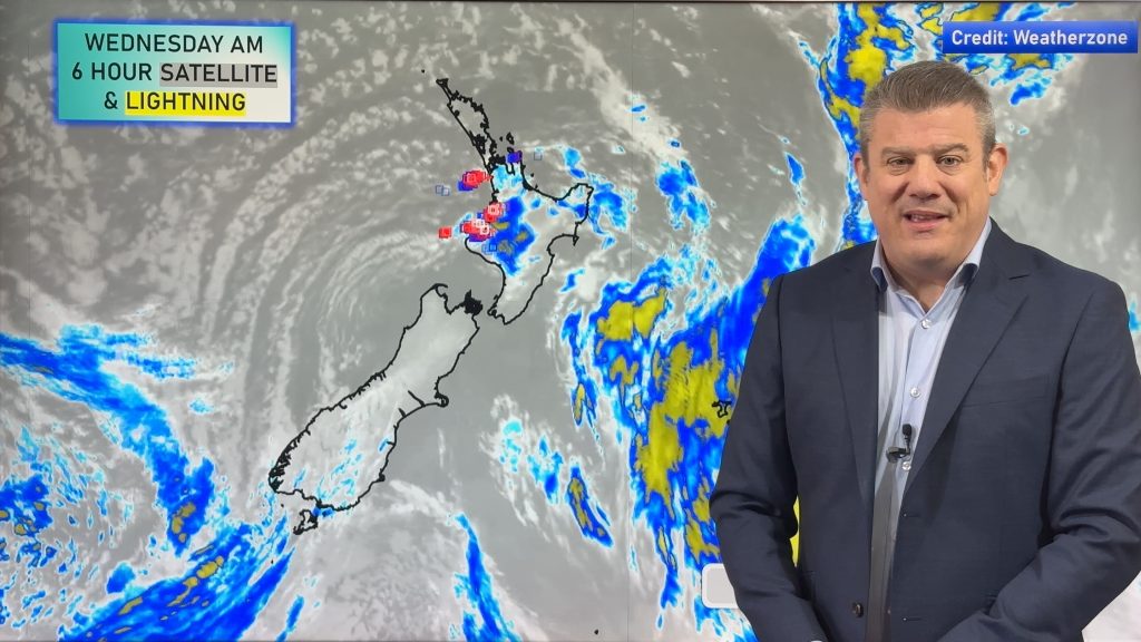
A cold front is crossing the southern half of Australia with rain and showers stretching from the Southern Ocean into NT and QLD even. But the bulk of the rain will be in the southern half of WA, SA, VIC, NSW and TAS.
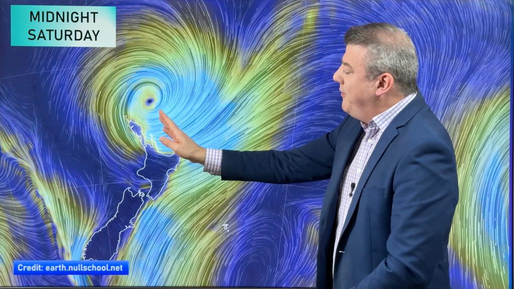
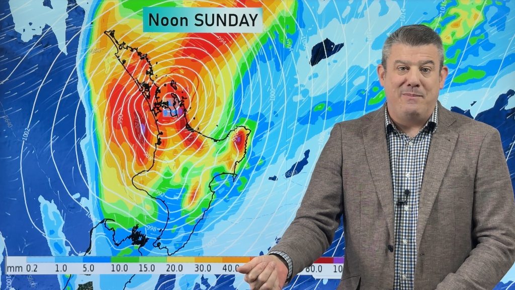
An east coast low should form this weekend and stick to the south-eastern corner of Aussie next week – potentially bringing rain relief into TAS and VIC in particular. TAS your rain isn’t yet locked in but the potential for over 80mm is there in some locations in the east if that low drifts down. It’s a similar story in eastern VIC.
We cover Australia’s weather for the next 7 days including a 7 day rainfall map to make sense of it all.
*Please note the video incorrectly has May 23 on the final rainfall map … the map is correct but the date is not, it should read May 30th. (A small typo with big consequences!)
*Programming Notes:
– Our NZ ClimateWatch video is out on Friday May 31, taking a closer look at the bigger picture of air pressure around Australia too (even though it’s primarily a NZ based video).
– Due to King’s Birthday Weekend we have no Australia video on Monday. If we can we’ll do another video on Tuesday, otherwise our next Aussie update will be one week from today.
Comments
Before you add a new comment, take note this story was published on 29 May 2024.


Add new comment
D P RICHARDS on 31/05/2024 10:49am
Impressive geography knowledge on AU Phil! You’ve done your homework.
Reply