Tuesday’s weather headlines (x3): Ex TC Fili moves in, Heavy swells North Island, Cold front on Saturday
11/04/2022 7:00pm
> From the WeatherWatch archives
Here’s what is making the weather headlines today.
EX TROPICAL CYCLONE FILI MOVES IN
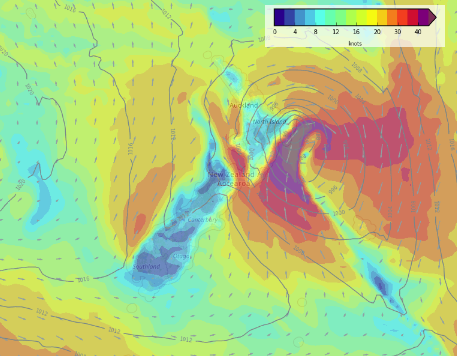
Ex Tropical Cyclone Fili is heading south towards the North Island today, it looks to be passing slightly more to the northeast, this means heavy rain and strong winds won’t be as widespread but some rough weather is definitely still on the cards.
Some heavy rain moves into Northland this morning, especially in the east then during the course of this afternoon and evening heavy rain works its way across to East Cape. South to southeasterly winds strengthen about eastern coastal areas this afternoon / evening also (Northland through to East Cape). Overnight we can expect heavy rain in the east north of about Napier. Tomorrow there looks to be very heavy rain in the east north of Napier with gale force south to southwesterly winds, severe gales about the coast.
Heavy rain and strong winds ease in the east from evening.

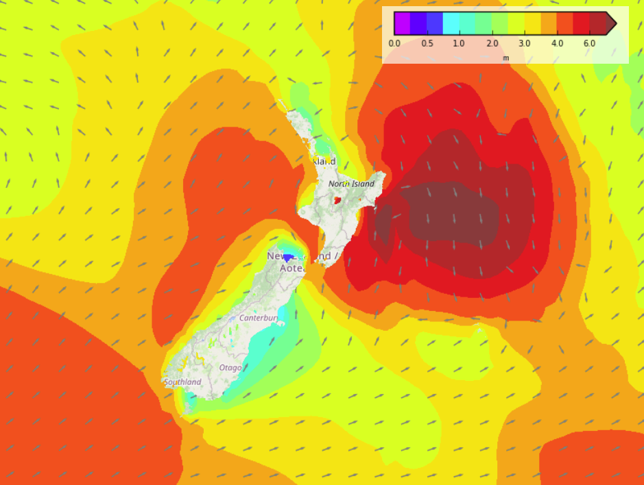
HEAVY SWELLS IN THE EAST ON WEDNESDAY
Apart from heavy rain and very strong winds, heavy swells are likely with Ex Tropical Cyclone Fili also. Heavy northeasterly swells develop into the second half of today for northeastern parts of the North Island (Northland across to East Cape) then tomorrow expect big swells for the eastern North Island coming in from the south as you can see in the map below.
More on the swells near you here.
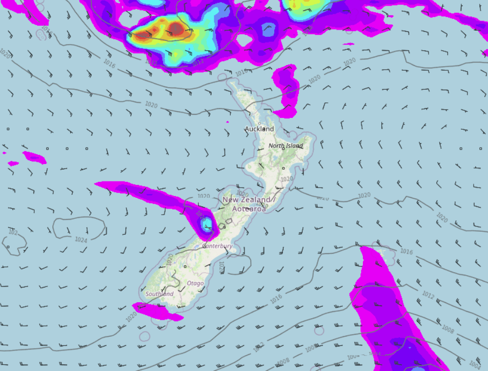
MAINLY SETTLED FROM THURSDAY THEN A COLD FRONT ON SATURDAY
High pressure pushes in from the west on Thursday bringing mainly settled conditions. Friday is fairly settled also then on Saturday a cold front pushes northwards over the South Island during the day, it brings some rain in the west and south but as the front moves northwards it loses its strength. Most of the east coast may only get a cool change and some thickening cloud.
Latest Video

Slow go for northern low & southern cold
For the next few days low pressure will crawl over the upper North Island, driving in rain as far south…
Related Articles
Slow go for northern low & southern cold
For the next few days low pressure will crawl over the upper North Island, driving in rain as far south…

Slow moving low to track over northern NZ
A low pressure zone will slowly cross the North Island over the coming days, bringing hit and miss pockets of…

NI low pressure, SI polar change
Low pressure will move over the upper North Island this week, bringing hit and miss pockets of heavier rain into…

