Tuesday’s national forecast – Front lies over upper South Island
27/06/2022 12:00pm

> From the WeatherWatch archives
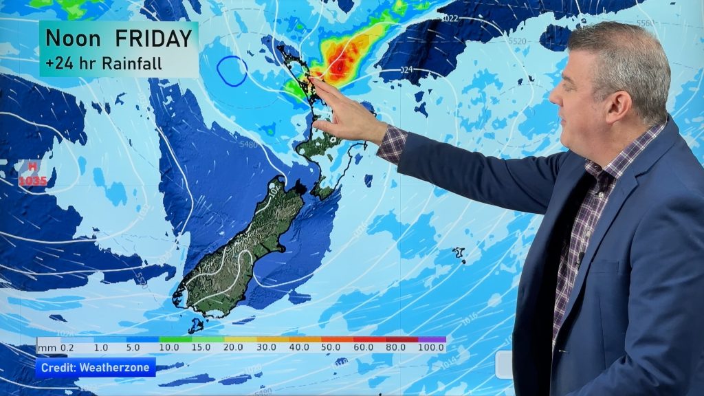
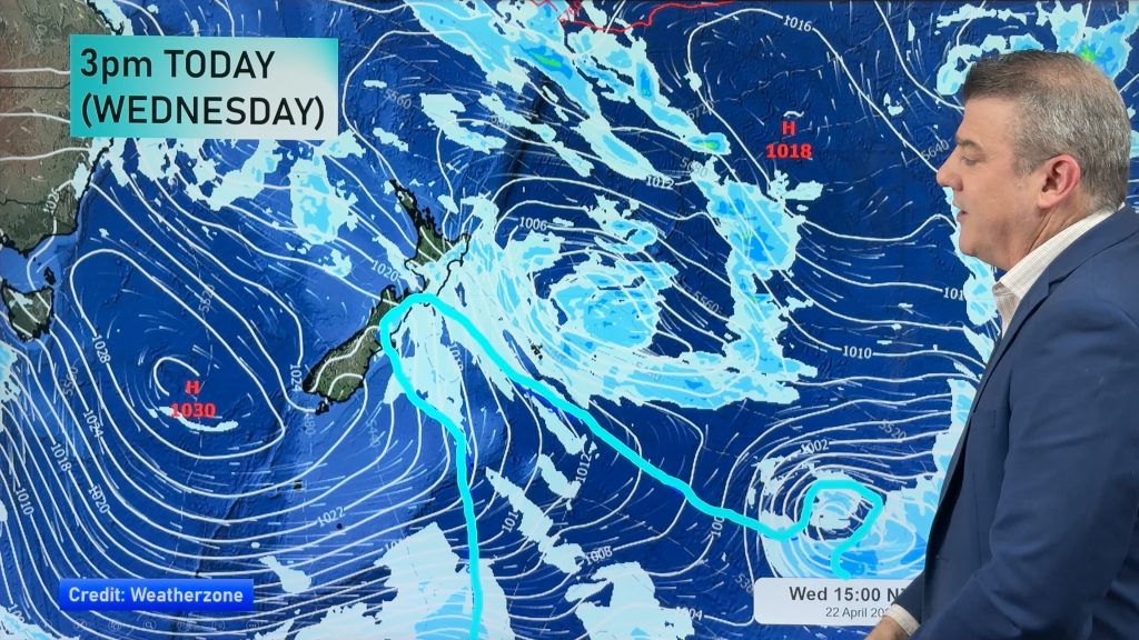
A front moves to lie over the upper South Island today bringing rain or showers. Some snow in the ranges too.
Northland, Auckland, Waikato & Bay Of Plenty
Areas of sun and some high cloud, a few showers move into Northland in the afternoon reaching Auckland in the evening, perhaps coastal Bay Of Plenty overnight. North to northeasterly winds.
Highs: 15-18
Western North Island (including Central North Island)
Mostly cloudy, a few showers, mainly about Taranaki and south of Palmerston North, perhaps turning to rain in the evening. The Central North Island stays dry all day with partly cloudy skies after a cold start. Light northerlies.
Highs: 10-15
Eastern North Island
High cloud, some mid level cloud for Wairarapa especially later in the day, southern Wairarapa may have a shower or two. Light winds.
Highs: 14-16
Wellington
Cloudy with the odd shower, turning to rain in the afternoon. Light winds.
Highs: 12-14
Marlborough & Nelson
Cloudy with rain developing in the morning, chance of a heavy fall or two. Light winds.
Highs: 10-13
Canterbury
Morning rain eases to showers, clearing by evening. Snow to 400m for South Canterbury, 700m for North Canterbury. Southeasterly winds ease.
Highs: 3-11
West Coast
Sunny for Fiordland, further north there is rain, but it will gradually clear from the south during the day. Showers still hanging around north of Westport overnight. Overnight we also see rain move back into Fiordland. Light winds tend to the south during the day.
Highs: 8-13
Southland & Otago
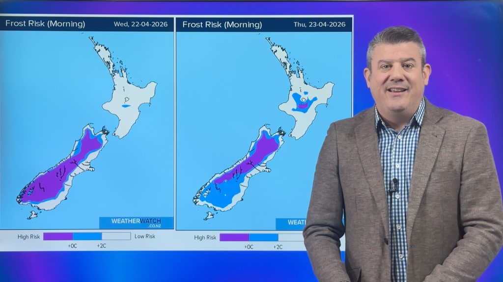
A mix of sun and cloud for Southland, Otago has morning showers and snow flurries to 400m clear, cloud may not break till later in the day. Light winds. Frosty overnight for inland areas.
Highs: 6-8
Comments
Before you add a new comment, take note this story was published on 27 Jun 2022.


Add new comment