Thursday’s national forecast – Mainly settled (+8 maps)
26/05/2021 4:04pm

> From the WeatherWatch archives
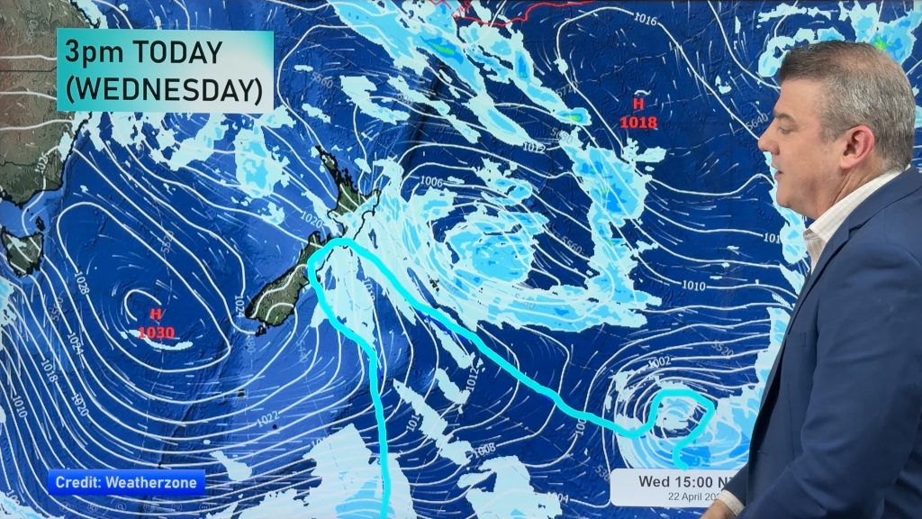
Conditions are mainly settled today due to New Zealand lying between two systems, a departing low to the northeast and a front approaching from the west in the Tasman Sea.
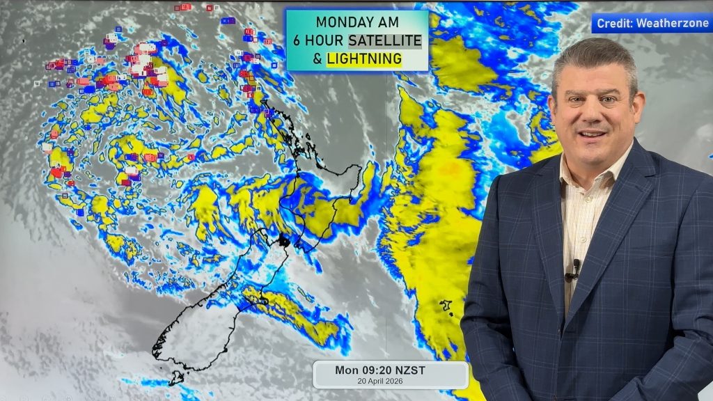
Most regions are dry today but we do see a few remaining showers for the eastern North Island clearing this evening, also some rain moves into Fiordland.
Please refer to your local, hourly, 10 day forecast for more details.
Northland, Auckland, Waikato & Bay Of Plenty
Mostly sunny with southerlies tending southwest during the afternoon. Bay Of Plenty may see some morning cloud then breaking away and Northland / Auckland could see a few clouds drift in from afternoon as winds tend southwest.
Highs: 16-19
Western North Island (including Central North Island)
Mostly sunny, some cloud hangs about Taranaki during the day though then spreading elsewhere overnight. Light winds.
Highs: 12-16
Eastern North Island
Mostly cloudy with showers, starting to dry up in the afternoon for Hawkes Bay, winds from the south or southeast. Wairarapa has a mainly dry day with cloud breaking to sunny spells at times from afternoon, winds tend northeast.
Highs: 15-16
Wellington
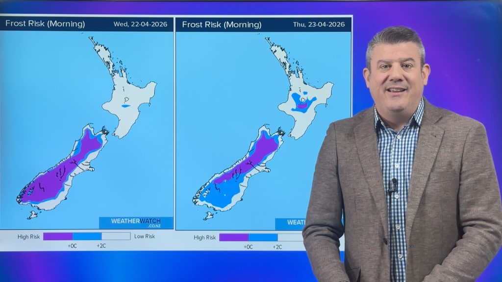
Sunny with northerly winds, a cold start inland.
Highs: 14-16
Marlborough & Nelson
Mostly sunny, there may be some early cloud then clearing. Northerlies.
Highs: 13-16
Canterbury
Sunny after a frosty start, east to northeast winds pick up in the afternoon about Banks Peninsula and near the coast.
Highs: 12-14
West Coast
Mostly cloudy, the odd shower for Fiordland turns to rain in the afternoon. Northeasterly winds.
Highs: 10-13
Southland & Otago
Some sun but expect high cloud to increase during the day, a few spots of rain in the evening about Southland and Central Otago, becoming more widespread overnight for Southland. Light north to northeasterly winds.
Highs: 11-12


Comments
Before you add a new comment, take note this story was published on 26 May 2021.


Add new comment