> From the WeatherWatch archives
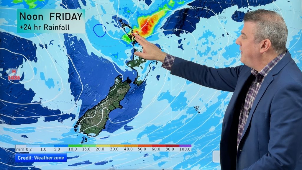
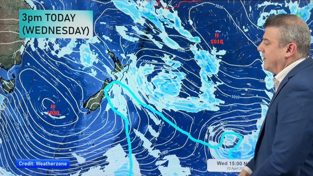
A band of heavy rain, in part due to the deadly rainstorm that hit Queensland at the weekend, is moving into the South Island’s West Coast region on Tuesday PM. It will turn torrential overnight and at times across Wednesday…this may lead to flooding, slips and power cuts. Locals should be aware of the current MetService rain warnings in force.
At the same time as this rain band slowly moves in, a Southern Ocean storm is also tracking in slowly and will help push nor’west gales over parts of the South Island and central New Zealand – and it will bring in even more rain for the West Coast.
This weather set up means several warm, windy, days ahead for many regions.

Warmest: Northern and eastern New Zealand.
Wettest: West Coast
Windiest: Eastern and Central NZ, especially near the mountains/ranges.
– WeatherWatch.co.nz
Comments
Before you add a new comment, take note this story was published on 5 May 2015.


Add new comment