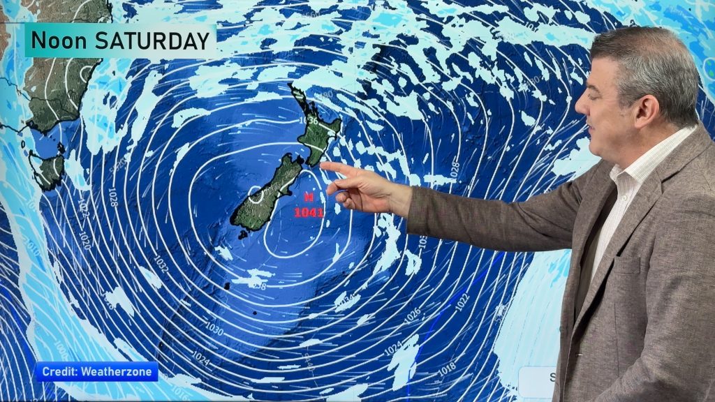
Sunday’s national forecast – Rain band moves through, windy for some (+12 Maps)
30/10/2021 3:00pm

> From the WeatherWatch archives
A cold front moves across NZ today with windy westerlies in a number of regions, reaching gale force through Cook Strait and many coastal zones will have gusts of 40km/h to near gale force (60km/h).
Rain moves across from west to east and falls apart in the upper North Island too. Check your HOURLY forecasts for the most detailed rain forecast in NZ — and you can now track the rain LIVE using our new Live / Real Time Rain Radar page – which you can find here.
Also, you can view most of the maps below in our newly enhanced Maps Page – we’ve added more maps and better colours to them – view them all here: www.weatherwatch.co.nz/maps-radars


Comments
Before you add a new comment, take note this story was published on 30 Oct 2021.


Add new comment