Sunday’s national forecast – Low pressure moves into the North Island (+12 Maps)
19/06/2021 8:23pm

> From the WeatherWatch archives
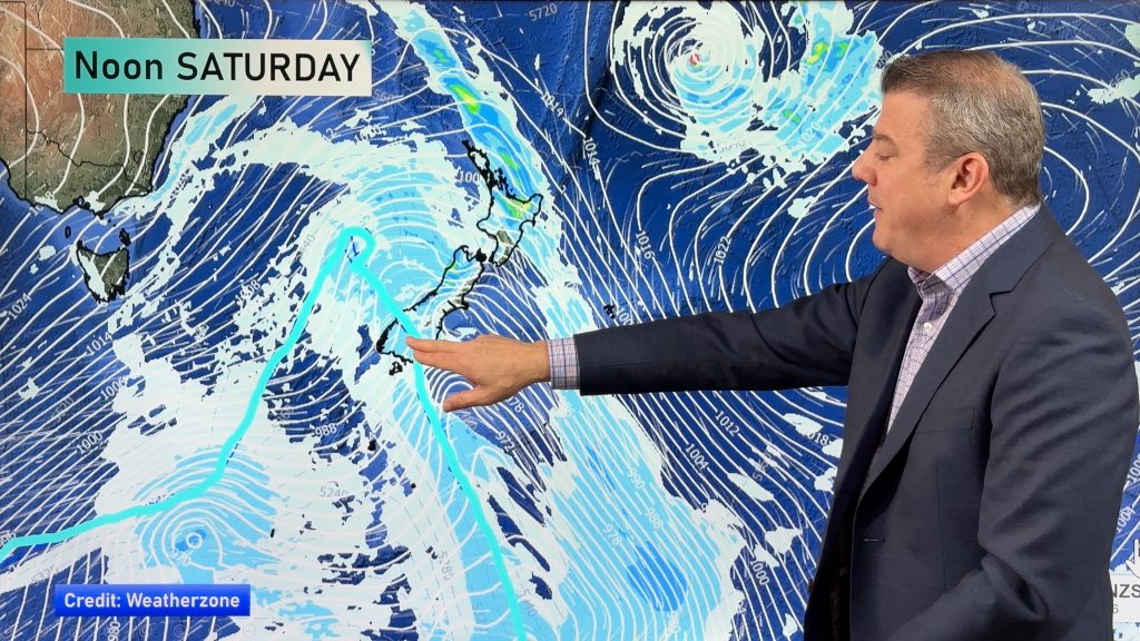
Foggy patches near the calm centre of the low, strong to gale force winds in some spots and heavy rain as well. Sunday sees the centre of the Tasman Sea low move into the North Island with calm weather at the centre and windy, wet, weather around it.
Strongest winds will be in eastern areas from Christchurch to Napier and especially focused through Cook Strait. Once the centre of the low clears the upper North Island expect a windier, cooler, change to move through.
A few isolated thunderstorms are possible in the North Island today.
Today is average to warmer than average in most places, except coastal Canterbury where it may lean a little cooler.
Heavy rain slides down the eastern North Island (good news) and into the upper easter South Island – with the bulk of the heaviest rain around Kaikoura.
For rainfall totals in your local part of NZ today – and peak times for rainfall – please refer to your HOURLY forecasts.
Have a great Sunday 🙂


Comments
Before you add a new comment, take note this story was published on 19 Jun 2021.


Add new comment