Sunday’s forecast – Showers move into North Island with heavy falls, thunder (+7 Maps)
19/02/2022 4:00pm

> From the WeatherWatch archives
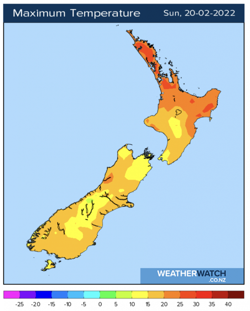
Daytime heating combined with a cold front falling apart over the North Island today will lead to heavy downpours and isolated thunderstorms, especially in the eastern side of the North Island.
Hawke’s Bay and Wairarapa are most exposed to heavy downpours and possible thunder today, Gisborne region too. However some heavy downpours may also bubble up further north inland around the ranges.
A few showers – and maybe a heavy downpour – may still impact the upper South Island but conditions are drying out across the South Island today as high pressure expands.
Elsewhere the weather is fairly quiet today, and mild.
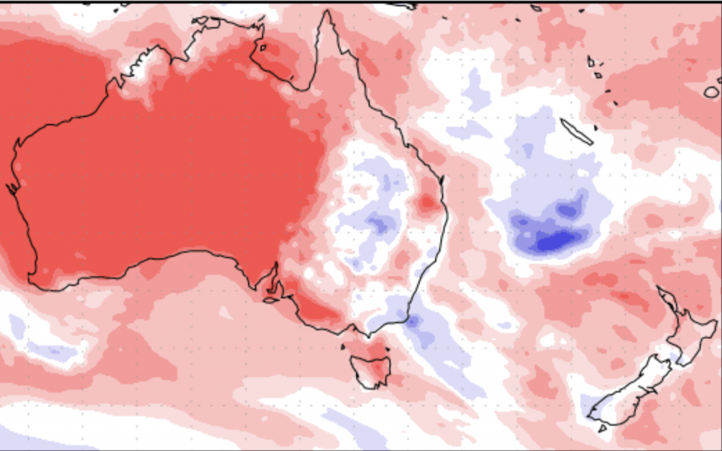
Red = Drier than average
White = Normal rainfall
Blue = Wetter than average for mid to late Feb
Please note these maps don’t tend to cover isolated downpours very well, which may impact some eastern North Island areas.


Latest Video

Snow, rain showers & cold polar southerlies set to return
Friday will be a wintry day across NZ as the next cold front arrives, bringing snow to lower levels of…
Related Articles
Snow, rain showers & cold polar southerlies set to return
Friday will be a wintry day across NZ as the next cold front arrives, bringing snow to lower levels of…

Frosts, late week rain & another cold weekend coming
High pressure will cross NZ over the next few days meaning more cold nights/mornings with frosts, but a nor’wester will…

NZ: Cold & windy, then calm & frosty
Downpours, some squally with the chance of thunderstorms and even small tornadoes are possible for parts of NZ over Friday…

