
> From the WeatherWatch archives
It has been a warm week for South East Queensland with gusty northwesterly winds bringing up the temperatures over the last few days. After a warmer than average start to the week which saw maximums of about one or two degrees above average, temperatures started heating up as troughs directed hot and gusty northwesterly winds across the region.
The maximum of 31.4 degrees on Wednesday for the Gold Cast was eight degrees above the average, however, Thursday saw a much cooler day as the sea breeze effect kicked in to keep the maximum close to the mid 20s.
Coolangatta saw ten degrees above average on Wednesday with a top of 32.7 degrees. Thursday saw a slight cooling with temperatures still five degrees above the September average.
Ipswich recorded a maximum of 34.5 degrees on Wednesday which was nine degrees above the average and 33.4 on Thursday, eight above average.
Further west, Gatton had a very warm two-day period with Wednesday and Thursday seeing temperatures reaching 34 degrees for both days, eight above the long term average.
Looking ahead, the weekend will see a line of storms move through the southeast with a trough on Saturday bringing some afternoon/evening storms. In particular Brisbane and the Gold Coast will see its best chance of storm activity on Saturday.
Temperature-wise there is no great relief in sight with warm, above average temperatures expected throughout the next week as troughs will continue to deliver hot winds to southeast Queensland. The Gold Coast can expect temperatures two to three degrees above average, Ipswich four to eight and Gatton up to five degrees above the long term norm.
– By Bob Neil, Weatherzone
Comments
Before you add a new comment, take note this story was published on 13 Sep 2013.
Latest Video

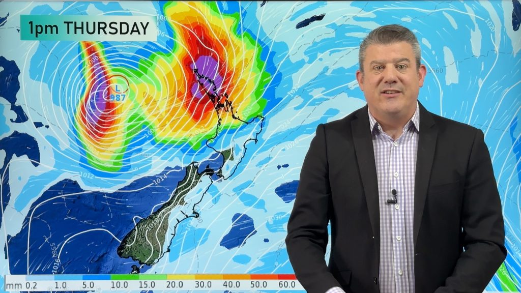
Update on severe weather around NZ as storm moves in + outlook for next week
Heavy rain and damaging wind gusts are forecast today, tonight and into Friday across parts of New Zealand as a…
Related Articles
Tropical low to bring wind & rain this week
A low exiting the tropics near New Caledonia this week will grow larger in the Tasman Sea and finally bring…

High pressure grows, but a stormy end to next week possible
A settled weekend is on the way and apart from a few isolated showers in both main islands many regions…

Australia: Will Tropical Cyclone Narelle track along half of Oz’s entire coastline?
Tropical Cyclone NARELLE has formed and is heading into northern parts of FNQ, the Katherine region of NT and then…


Add new comment