
Polar airflows set to bring cold weekend to NZ
22/07/2026 12:00pm
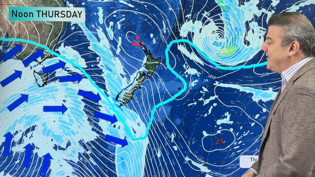
Nor-west winds will be building over parts of NZ going into Thursday with rain on the West Coast becoming heavy – then colder air arriving at night and across Friday for the South Island. By Saturday the polar airflow boundary will surge right across NZ from the Deep South up to the Far North.
Snow is possible to low levels in the lower South Island – but the snow level itself moves around a bit and there are some large dry areas in the mix. To see if snow is likely at your place check out the forecasts at WeatherWatch.co.nz (or in our app) or from RuralWeather.co.nz – the snow icon appears when snow is likely. Of course snow showers, like rain showers, can be isolated and may surprise some people, but with large dry areas thanks to our mountains and ranges this event doesn’t look like a major snow event at lower levels. For the North Island the snow level is even higher, with most falls above 1000m, but some flurries are possible for a time this weekend down to 600m – but again there may be large dry areas as this occurs. Keep up to date with MetService warnings, watches and mountain forecasts.
The cold weather lingers into Monday then starts to ease as we go into Tuesday.
Latest Video
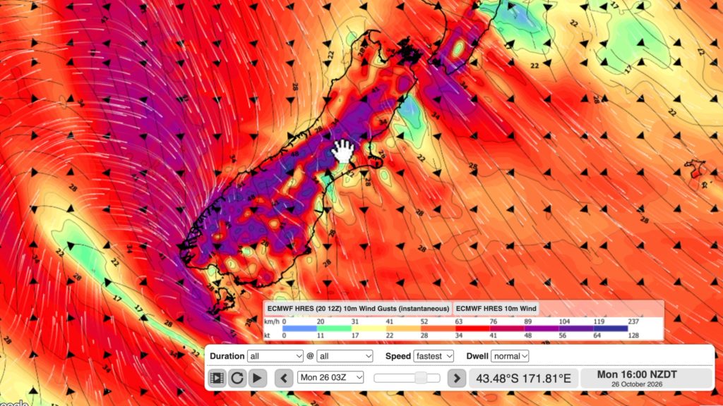
NZ: Long Weekend update, Labour Day severe weather risks
A very large and slow moving high pressure zone will slip off NZ to the east of the North Island…
Related Articles
NZ: Long Weekend update, Labour Day severe weather risks
A very large and slow moving high pressure zone will slip off NZ to the east of the North Island…
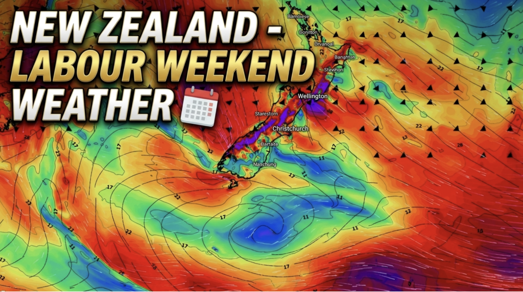
Weather this week & Labour Weekend
High pressure dominates NZ’s weather this week, but slides off much of the country by Labour Day Monday. Despite the…
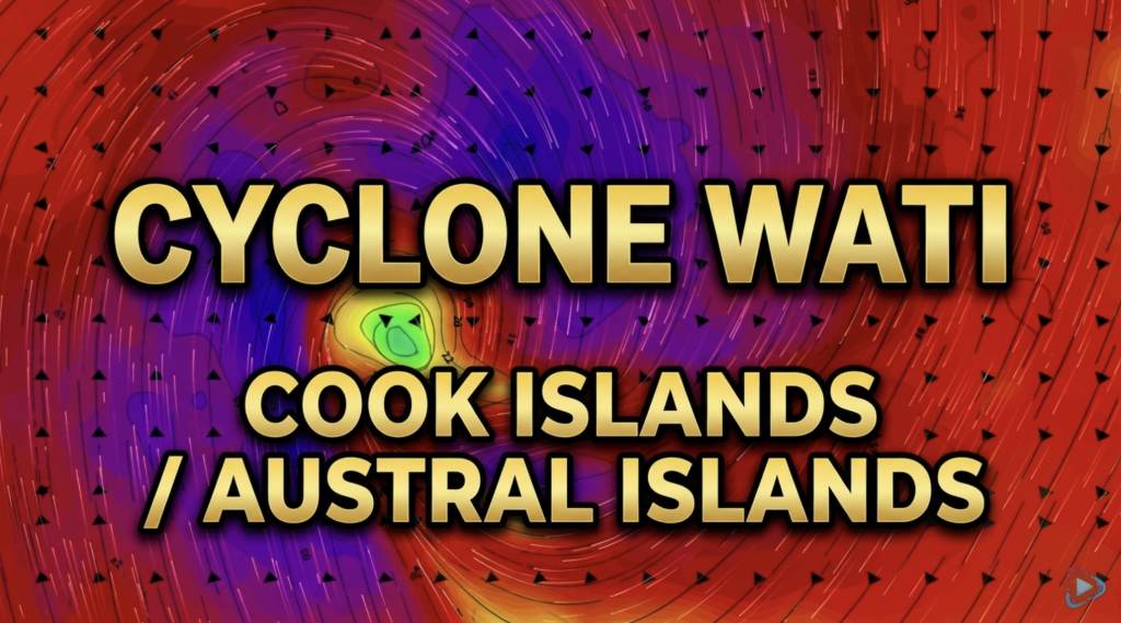
Cyclone Wati: Cook Islands today, Austral Islands tomorrow
Tropical Cyclone Wati is today (Sunday local time, Monday NZDT) tracking over the Cook Islands bringing damaging wind gusts to…

