
Snow, gales, frosts and sunshine as spring kicks in
25/09/2026 11:23am
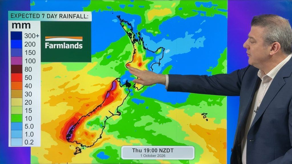
Temperatures will lift up on Saturday ahead of Sunday’s polar change, with Sunday seeing the potential for snow down to 400 or 500m around the South Island for a time as the front heads north, moving into the North Island on Sunday PM. A surge of windy nor’westers are ahead of the front with severe gales likely in some areas, followed by a windy southerly which may also gust into gale force.
Monday next week will kick off colder, with some frosts in both main islands.
But next week high pressure over the Tasman Sea is expected to influence NZ’s weather – but whether it’s sunny and calm, or cloudy and a little breezy still isn’t confirmed for all. But either way it should bring more settled weather and warmer weather too.
We also on a different note today – with a 7 day animation of NZ’s upcoming weather to make sense of it all.
Latest Video
Snow, gales, frosts and sunshine as spring kicks in
Temperatures will lift up on Saturday ahead of Sunday’s polar change, with Sunday seeing the potential for snow down to…
Related Articles
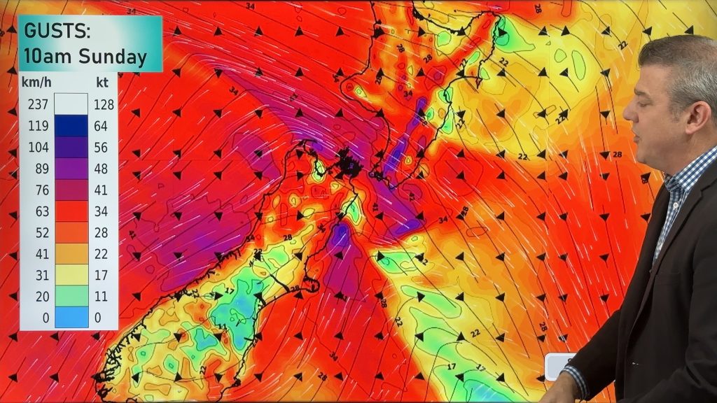
Polar snap Sunday, high pressure next week finally
Cold air will linger over NZ for another 24 to 36 hours, bringing more frosts and low temperatures tonight, but…

Meteors – Your Eyewitness Reports!
WeatherWatch.co.nz receives meteor reports from all over New Zealand and the globe, 24/7/365. **CASUAL COMMENTS**If you’ve seen something in the…
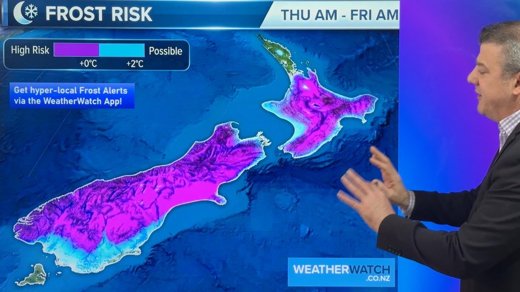
Winter cold returns! Frost risk expands
Tonight will be a cold night nationwide as polar air smothers the country bringing a return to frosts tonight (or…

