
Severe gales expected Sunday & next Wednesday
27/08/2026 12:18pm
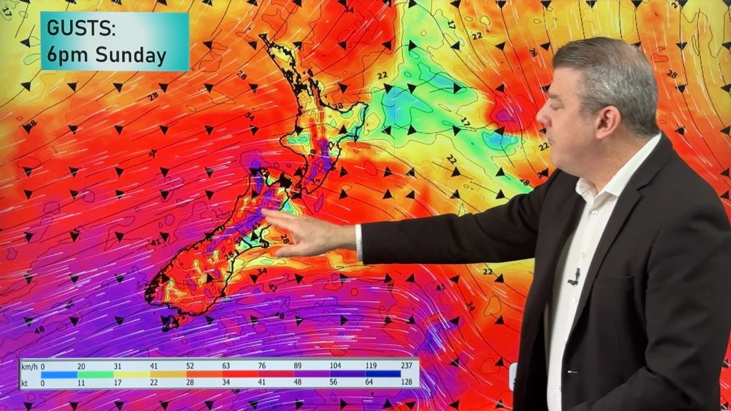
The final weekend of winter on the meteorological calendar will bring spring-like westerlies across the nation, ramping up further on Sunday and easing gradually on Monday, but may return again next Wednesday.
The windy westerlies will boost temperatures following the current set-up over the South Island. Today and Friday more heavy rain and snow falls over the South Island with a lot of single digit maximum temperatures. By Saturday some eastern South Island places may shoot up into the 20s.
The North Island, which isn’t affected by the current cold air over the South Island, has cloud and showers about going into the weekend – and maybe some locally heavy rain in the upper North Island due to some northern offshore low pressure.
Next week the westerly winds dominate the beginning of spring.
Latest Video
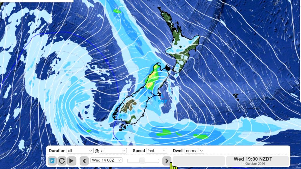
Hotter, but Wintry Snap coming late week
Temperatures will soar into the mid to late 20s early week but single digits for some by late week as…
Related Articles
Hotter, but Wintry Snap coming late week
Temperatures will soar into the mid to late 20s early week but single digits for some by late week as…
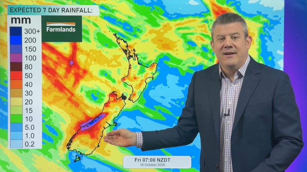
NZ: Instability to produce some wet weekend weather, cold change next week
Afternoon downpours will expand on Saturday with possible isolated thunderstorms as atmospheric instability (due to lower pressure zones east and…
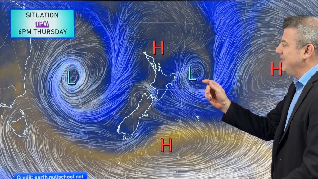
Weekend downpours in both main islands, temps increase
Warmer air will spread over more parts of NZ this weekend but it will come with showers, some downpours and…

