Saturday’s national forecast – High pressure moves in
12/08/2022 12:00pm
> From the WeatherWatch archives
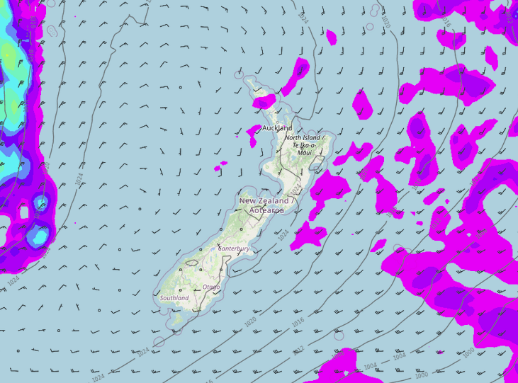
High pressure expands over the North Island today therefore covering most if not all of New Zealand, there is still a few showers about though, more details below.
Northland, Auckland, Waikato & Bay Of Plenty
Some cloud, a shower or two. Bay Of Plenty has a mainly sunny day. Southwesterlies.
Highs: 13-15
Western North Island (including Central North Island)
Mostly sunny after morning cloud clears. Cloud lingers a bit longer for Taranaki with a few clearing showers there. Light southwesterlies.
Highs: 7-13
Eastern North Island
Partly cloudy skies right along the coast, risk of a shower along the coastal fringe. Just inland away from the coast skies are sunnier after a frosty start. Southwesterly winds.
Highs: 11-13
Wellington
Morning cloud clears then sunny, southerlies die away.
High: 10-11
Marlborough & Nelson
Any morning cloud clears then sunny, light winds.
Highs: 10-13
Canterbury
Sunny, heavy frosts to start inland. Any morning cloud about the coast clears. Light winds.
Highs: 7-12
West Coast
Morning cloud near the coast then sunny spells increase, just inland expect sunny skies after a frosty start. Light winds.
Highs: 10-12
Southland & Otago
Morning cloud, perhaps a coastal shower, becoming sunny in the afternoon, west to southwesterly winds.
Highs: 9-10
Latest Video

Pockets of hit & miss heavy rain, snow moves northwards
Low pressure continues to slowly move across the upper North Island and for some that will bring the sun out,…
Related Articles
Pockets of hit & miss heavy rain, snow moves northwards
Low pressure continues to slowly move across the upper North Island and for some that will bring the sun out,…

Slow go for northern low & southern cold
For the next few days low pressure will crawl over the upper North Island, driving in rain as far south…

Slow moving low to track over northern NZ
A low pressure zone will slowly cross the North Island over the coming days, bringing hit and miss pockets of…

