Saturday’s national forecast – Cold front moves northwards
15/04/2022 3:22pm
> From the WeatherWatch archives
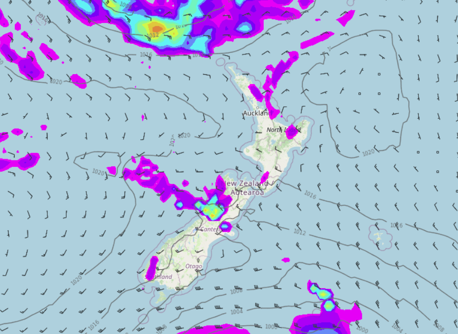
A cold front pushes northwards over the South Island today, it weakens as it moves northwards meanwhile the North Island is under a ridge of high pressure.
North Island
Mostly dry with sun but there could be some cloud and a shower or two about coastal parts in the northeast (East Cape up through to Northland). There could also be some cloud in the southwest (Taranaki through to Kapiti) bringing the risk of a coastal shower there. Perhaps some morning fog for the North Island also, mainly about some inland parts then clearing. Later this evening and overnight cloud thickens in the south (Wellington) and eventually up the east coast with southerlies bringing a few light showers or drizzle patches.
South Island
A cold front push northwards today bringing some rain in the west, rain this morning for Southland and showers moving into Otago with gusty westerlies (strong to gale about the coast) then thinning out this afternoon and clearing away with sun breaking through. Canterbury is dry and warm with some sun / high cloud then southerlies freshen this afternoon bringing bringing thickening cloud, later in the day or overnight there could be a light shower or two. Nelson and Marlborough are mostly sunny with some high cloud from this afternoon.
Latest Video

Snow, rain showers & cold polar southerlies set to return
Friday will be a wintry day across NZ as the next cold front arrives, bringing snow to lower levels of…
Related Articles
Snow, rain showers & cold polar southerlies set to return
Friday will be a wintry day across NZ as the next cold front arrives, bringing snow to lower levels of…

Frosts, late week rain & another cold weekend coming
High pressure will cross NZ over the next few days meaning more cold nights/mornings with frosts, but a nor’wester will…

NZ: Cold & windy, then calm & frosty
Downpours, some squally with the chance of thunderstorms and even small tornadoes are possible for parts of NZ over Friday…

