RainWatch – Wet conditions ease in the east on Thursday
1/07/2020 3:50am

> From the WeatherWatch archives
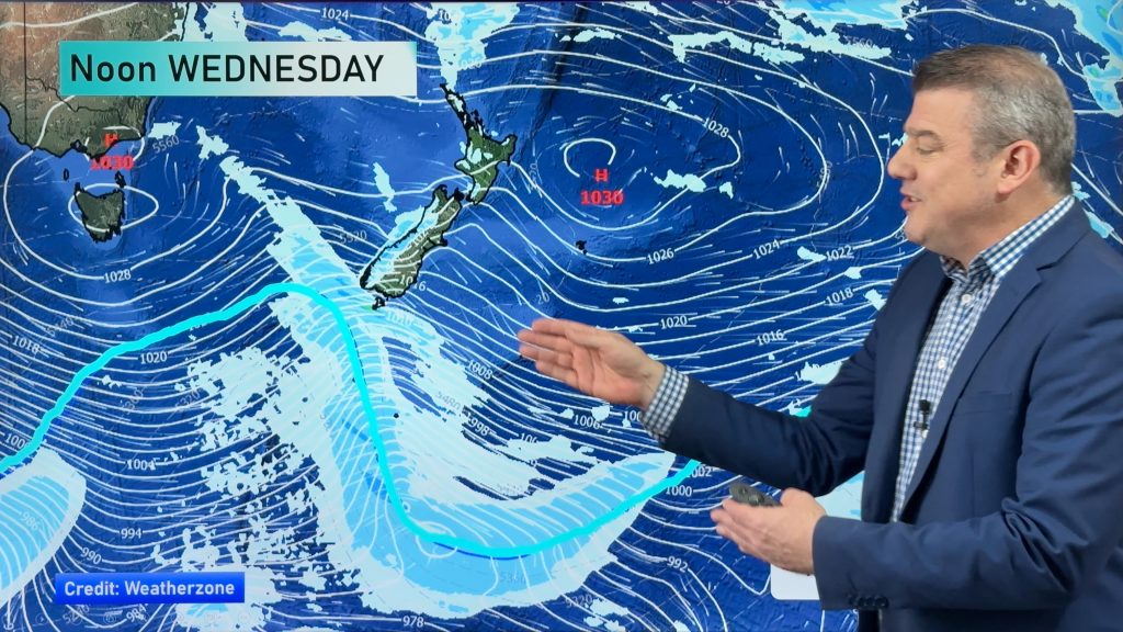
Showery conditions ease for northeastern side of the South Island on Thursday mostly clearing in the evening. The eastern North Island sees a surge of wet weather in the morning then easing from afternoon, there will still be the odd lingering shower through the night.

Friday is actually quite dry for most of New Zealand, just the odd clearing coastal shower for the eastern North Island then overnight a northwesterly airflow builds for the South Island bringing rain in the west.

This snow accumulation map below is from 6am this morning and goes through to 6am tomorrow morning (Thursday morning). You can see what parts of the country get hardest hit with snow during the current set up.

For rainfall accumulation maps for 1, 2 and 3 days out please visit our new maps page: https://www.weatherwatch.co.nz/maps-radars/rain/accumulative-rainfall
By Weather Analyst Aaron Wilkinson – WeatherWatch.co.nz
Comments
Before you add a new comment, take note this story was published on 1 Jul 2020.


Add new comment