> From the WeatherWatch archives
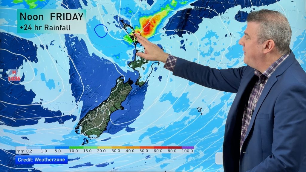
Torrential rain is setting in across a number of North Island regions and this morning state owned forecaster MetService extended their numerous rain warnings into Monday.
Heavy rain has set in across several regions of the North Island and now winds are picking up too as the low approaches northern New Zealand.
Have you seen flooding or had reports of it? Be the first to let us know what conditions are like where you are by clicking here.
Have photos of flooding or slips? Click here to easily upload photos.
WeatherWatch.co.nz head weather analyst Philip Duncan says there are two types of rain falling with this sub-tropical low. “We have the sustained fairly heavy rain, that over several hours will start to cause surface flooding in low lying areas and slowly lift river levels. Built into that rain we then have localised down bursts which MetService say could be as much as 40mm an hour which is heavy enough to cause streams to rapidly rise, or cause flash flooding”.
Mr Duncan says the sub-tropical low continues to deepen and readers at WeatherWatch.co.nz are now providing some interesting observations.
“Some are saying the south easterly wind is very cold where they are, others have noticed the wind picking up this morning as the low deepens and others are celebrating that the droughts are finally over”.
Mr Duncan says reports from Waikato are showing that people are especially happy about the rain with the area missing out on other rain bands so far this summer.
Paul from Puhipuhi, north of Whangarei says flooding is now appearing on the flats as rainfall totals start to exceed 100mm across the upper North Island.
Follow WeatherWatch.co.nz on Facebook – for Breaking Weather News on your Facebook wall. Simply click here to Like us
One visitor to the website says they’ve received 110mm in their Takapuna rain gauge since 3pm Saturday.
Another reader south of Whangarei writes “Rained all night – 100mm. Stopped earlier this morning and was calm. Wind and rain have picked up again in the last half an hour – Northeast and gusty. The creek over the road from me that usually floods hasn’t yet flooded”.
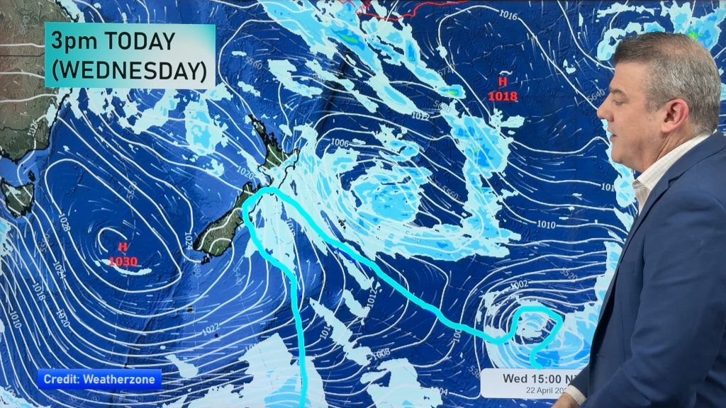
WeatherWatch.co.nz says that the centre of the low remains north of Cape Reinga and continues to deepen, which explains why residents in Northland are commenting on increased wind speeds. The centre of the low should cross the Far North this afternoon with MetService plots showing the centre of the low will actually track down the west coast of the upper North Island, passing near Piha, Auckland before midnight tonight.
Mr Duncan says it’s this incredibly slow movement, coupled with monsoon-like rain that could lead to more serious flooding later today.
So far WeatherWatch.co.nz has received no reports of serious slips or flooding.
One reader, from Waipukurau in Central Hawkes Bay says it’s cold and wet this morning and they’ve turned the heater on. The temperature in the area is around 13 to 15 degrees with heavy rain.
Strongest winds remain out on the Hauraki Gulf where they are gusting to 100km/h. On the Manukau Heads they have a near gale easterly, with the eastern Waikato town of Te Aroha expected to receive gale force winds off the mountain later this afternoon as the low approaches.
This morning MetService extended their severe weather warnings into the early hours of Monday morning for Auckland with predictions for a further 100 to 150mm possible – meaning that some areas may not even be at the halfway mark for rain yet.
WeatherWatch.co.nz predicts winds will rise to gale force in exposed eastern coastal areas of Auckland later this afternoon and the heavy rain will ease tonight.
In Northland a further 100 to 150mm is also predicted by the stat forecaster, but heavy rain should ease this evening in this region.
MetService predicts another 200 to 300mm of rain for the ranges of Bay of Plenty.
A strong wind warning has also been issued this morning for gusts to 120km/h for the Coromandel Peninsula.
WeatherWatch.co.nz says while no wind warning has been issued for the Waikato region they say residents who live along the western side of the Kaimai Ranges can also expect gale force winds to develop this afternoon and evening.
Read all warnings and watches in their entirety here
Be the first to let us know what conditions are like where you are by Clicking Here.
Comments
Before you add a new comment, take note this story was published on 22 Jan 2011.


Add new comment
Greg on 22/01/2011 10:07pm
Massey east has got very warm very quick. Everything has steamed up windows even fish tank. could this be recipe for a torando or are we safe? Is there a chance of thunder storms?
Reply
Peter on 22/01/2011 10:03pm
Wind has swung around to the north north-east here. Temperature and humidity has risen noticeably, 22 degress, 80% humidity. Still raining steadily.
Reply
Guest on 22/01/2011 9:42pm
hey so I checked the metservice, 16 degrees , yeah ok. It feels like hongkong right now in Auckland misty light drizzle, windy and increasingly getting warmer by the minute it seems the humidity is so dense and it is so warm feels an easy 28 outside. This is great weather.
Reply
Jude on 22/01/2011 9:28pm
wow when the wind arrived it suddenly got really humid here in mill creek whitianga.
Reply
Guest on 22/01/2011 9:26pm
We live in Hunua, Auckland and all our windows also have lots of condensation on the outside.
Reply
View more comments