
Polar snap Sunday, high pressure next week finally
24/09/2026 12:14pm
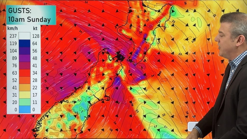
Cold air will linger over NZ for another 24 to 36 hours, bringing more frosts and low temperatures tonight, but a warmer Saturday is coming. However, the next polar snap/blast rushes in this weekend, reaching the lower North Island by Sunday afternoon.
This next polar southerly will bring a burst of rain/showers, snow to the South Island hills and ranges (and ranges/mountains of the lower North Island), a burst of gale force nor’westers, which turn gale southerly for some after.
Windchill will be tough for newborn livestock over Sunday and Monday in particular.
But next week we may finally get what many have been wanting – high pressure to cross NZ. The latest maps show this may happen.
We give you the full New Zealand forecast for this weekend and to the middle of next week.
Latest Video
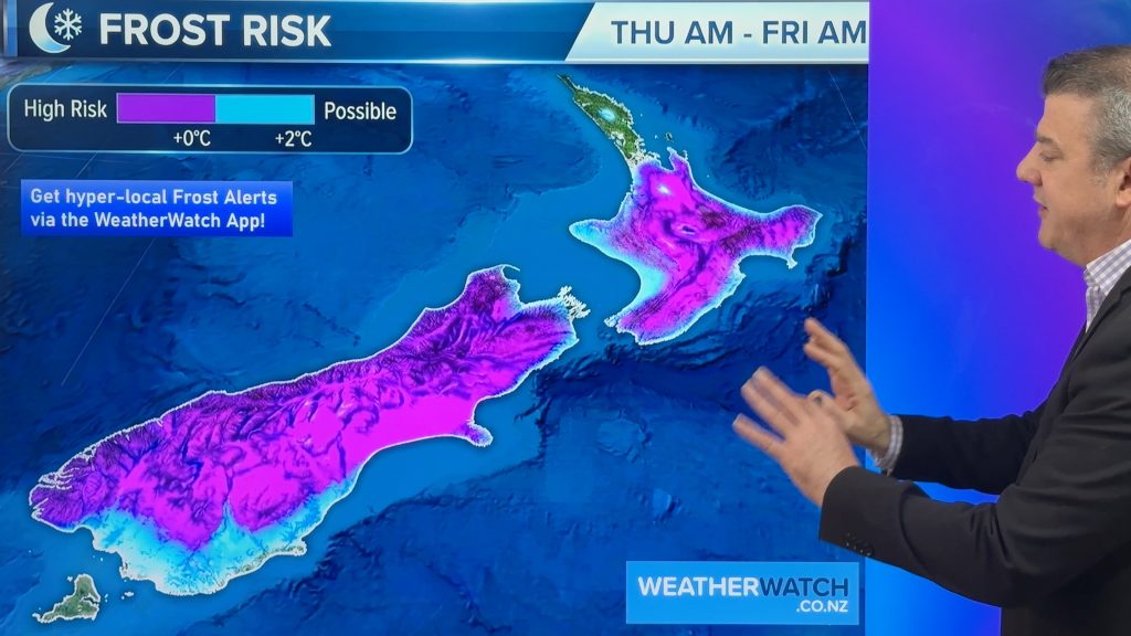
Winter cold returns! Frost risk expands
Tonight will be a cold night nationwide as polar air smothers the country bringing a return to frosts tonight (or…
Related Articles

Meteors – Your Eyewitness Reports!
WeatherWatch.co.nz receives meteor reports from all over New Zealand and the globe, 24/7/365. **CASUAL COMMENTS**If you’ve seen something in the…
Winter cold returns! Frost risk expands
Tonight will be a cold night nationwide as polar air smothers the country bringing a return to frosts tonight (or…
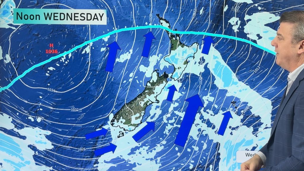
Frosts, snow, gales & windchill – Next 6 days…
Colder weather is yet to spread nationwide, doing so over the next few days ahead with the polar boundary going…

