
Polar snap coming this weekend, northern low too
11/08/2026 12:04pm
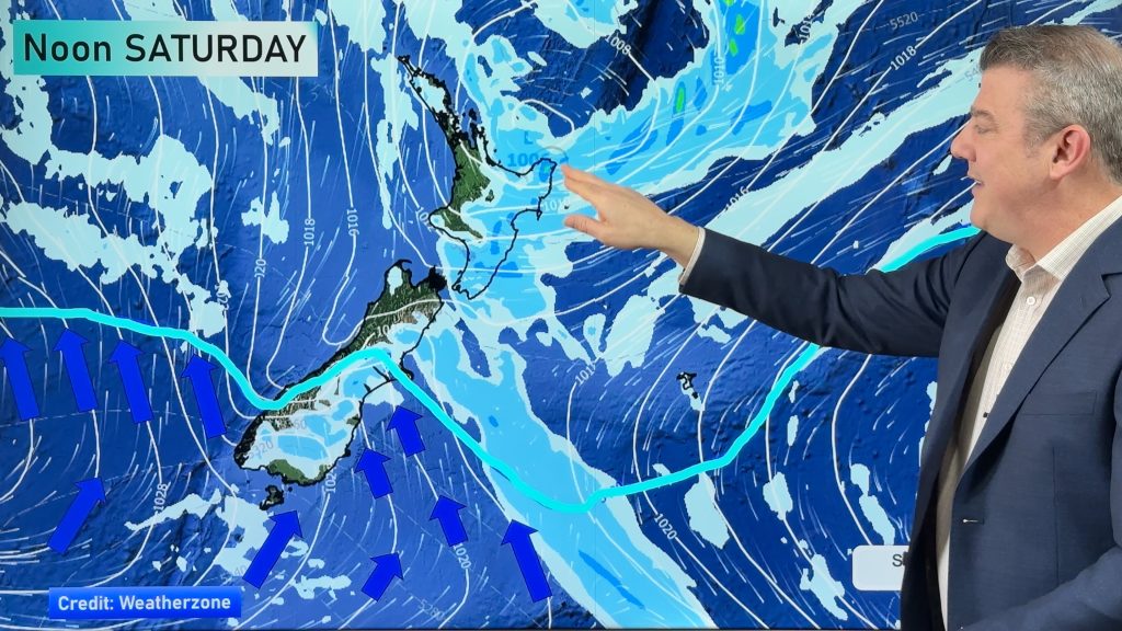
Another burst of polar air is heading towards New Zealand, starting this weekend in the South Island and spreading over the North Island on Sunday/Monday of next week. Compared to the cold blast we had last week, this one is weaker – but it will deliver another wintry southerly, especially along the eastern side of New Zealand with another dusting of snow for the hills and ranges. This southerly doesn’t look to come with a lot of moisture.
Before the southerly goes nationwide the north of the country will have a low moving through – this has the potential to deliver some heavy rain around East Cape, Gisborne and northern Hawke’s Bay, but the weakness of the low makes it a little tricky to lock in this heavier rain just yet. We hope to know with more certainty by Thursday.
We’re also monitoring a very large and powerful high pressure zone way out over the southern Indian Ocean which will come into Australia’s south this week and weekend, and will then start to affect NZ’s weather pattern too.
Latest Video
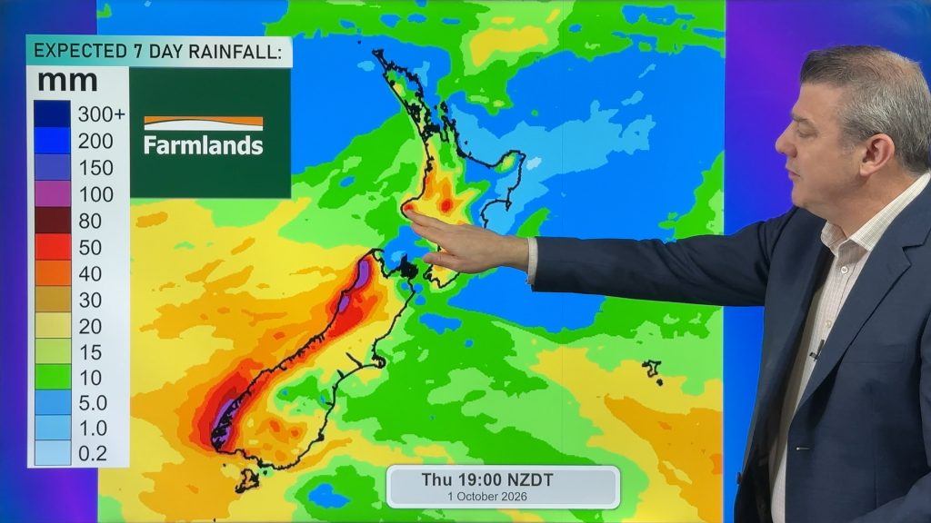
Snow, gales, frosts and sunshine as spring kicks in
Temperatures will lift up on Saturday ahead of Sunday’s polar change, with Sunday seeing the potential for snow down to…
Related Articles
Snow, gales, frosts and sunshine as spring kicks in
Temperatures will lift up on Saturday ahead of Sunday’s polar change, with Sunday seeing the potential for snow down to…
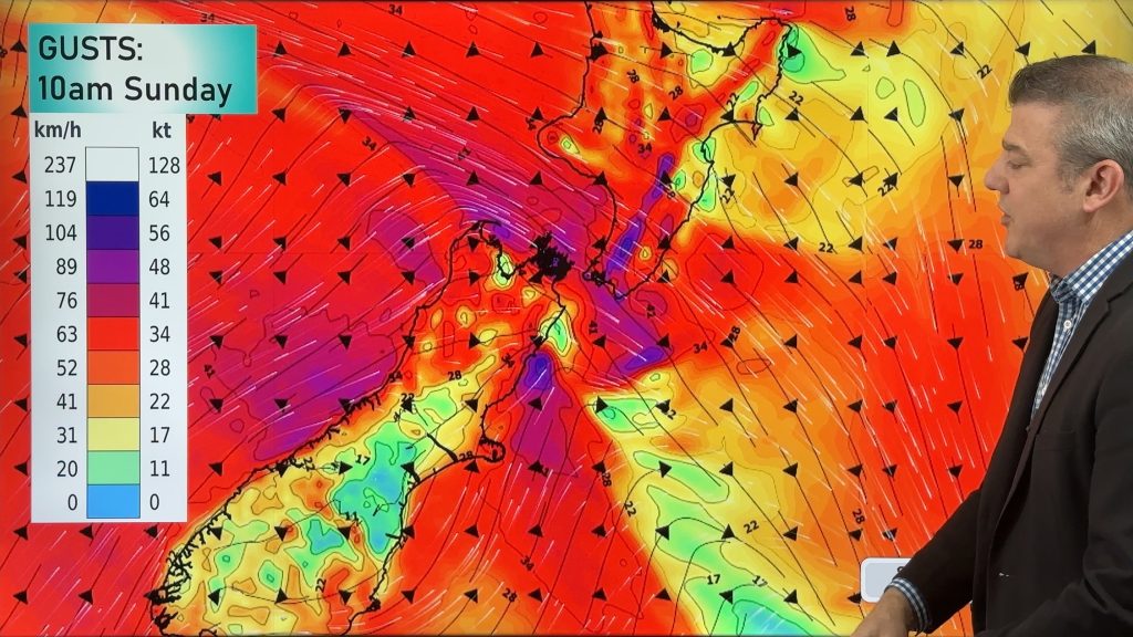
Polar snap Sunday, high pressure next week finally
Cold air will linger over NZ for another 24 to 36 hours, bringing more frosts and low temperatures tonight, but…

Meteors – Your Eyewitness Reports!
WeatherWatch.co.nz receives meteor reports from all over New Zealand and the globe, 24/7/365. **CASUAL COMMENTS**If you’ve seen something in the…

