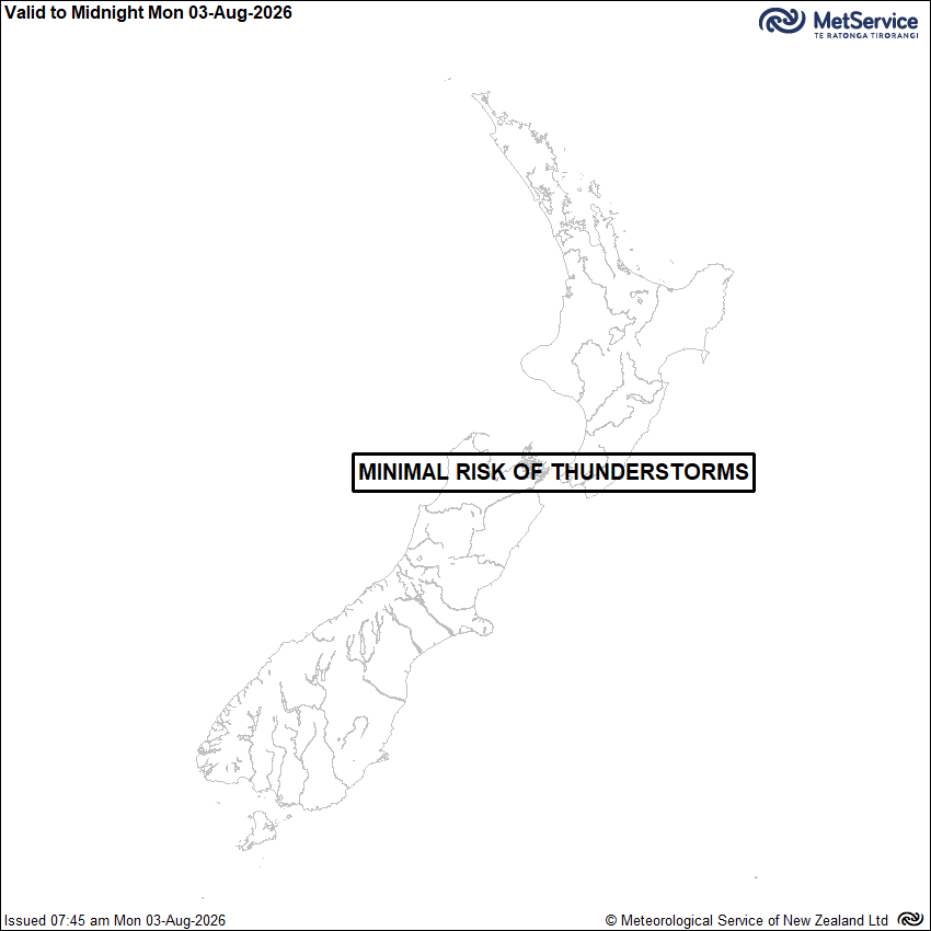
Thunderstorm Outlook
Issued at 7:15pm 2/08/2026
Valid from 7:15pm 2/08/2026 to Midnight 3/08/2026
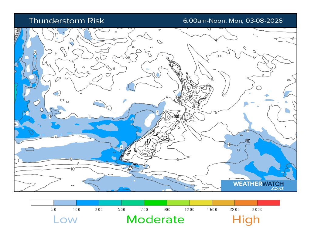
There is minimal risk of thunderstorms or significant convection during this period.
Severe Thunderstorm Criteria
In New Zealand, MetService classifies a thunderstorm as severe if one or more of the following criteria are met:
Heavy rain (from thunderstorms):
Rainfall of 25mm/h, or more.
Large hail:
Hailstones 20mm in diameter, or larger.
Strong wind gusts (from thunderstorms):
Gusts of 110km/h (60 knots) or stronger.
Damaging tornadoes:
Fujita F1 - i.e. wind speeds greater than 116km/h (63 knots) or stronger.
Note: some tornadic systems such as funnel clouds, waterspouts and small land-based tornadoes are possible with thunderstorms that may not be classified as severe.