
NZ 8 day: More spring ups & downs
11/09/2026 11:54am

A surge of colder air will affect some places over today, tonight and Saturday morning, before a warmer airflow comes in for Sunday and early next week.
High pressure is leaving Australia – bringing us windier weather for Friday and Saturday, but as the high moves closer to Northland early next it will bring lighter winds for many places and even warmer air which should see temperatures climb into the upper teens and 20s across southern and eastern parts of NZ for a short time.
A short time because the next windy, cold and wet change looks to come in mid to late next week, ahead of yet another large and strong high pressure zone moving through southern and eastern Australia.
Latest Video
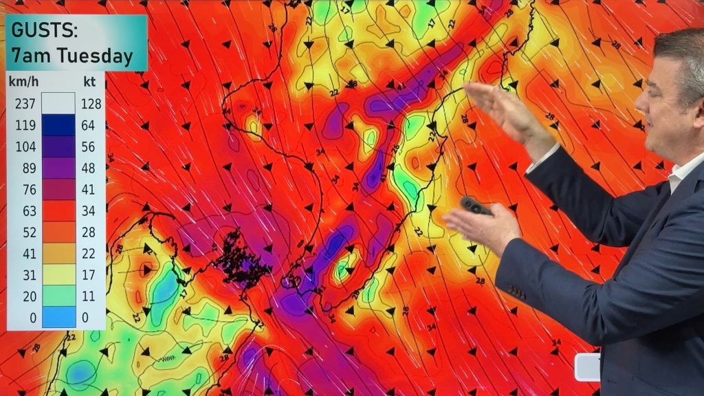
Gales, rain, cold change – large dry areas too
In true spring fashion we have hot days and cold days this week as a cold front moves up the…
Related Articles
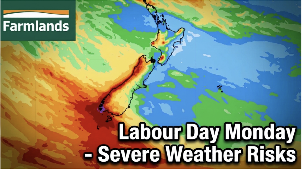
Labour Day severe weather risks – but large dry areas this weekend
High pressure shapes our weather this weekend but by Monday low pressure will affect the south bringing severe nor-west gales…
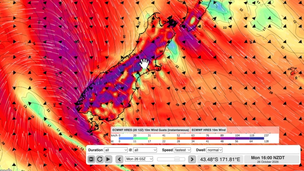
NZ: Long Weekend update, Labour Day severe weather risks
A very large and slow moving high pressure zone will slip off NZ to the east of the North Island…
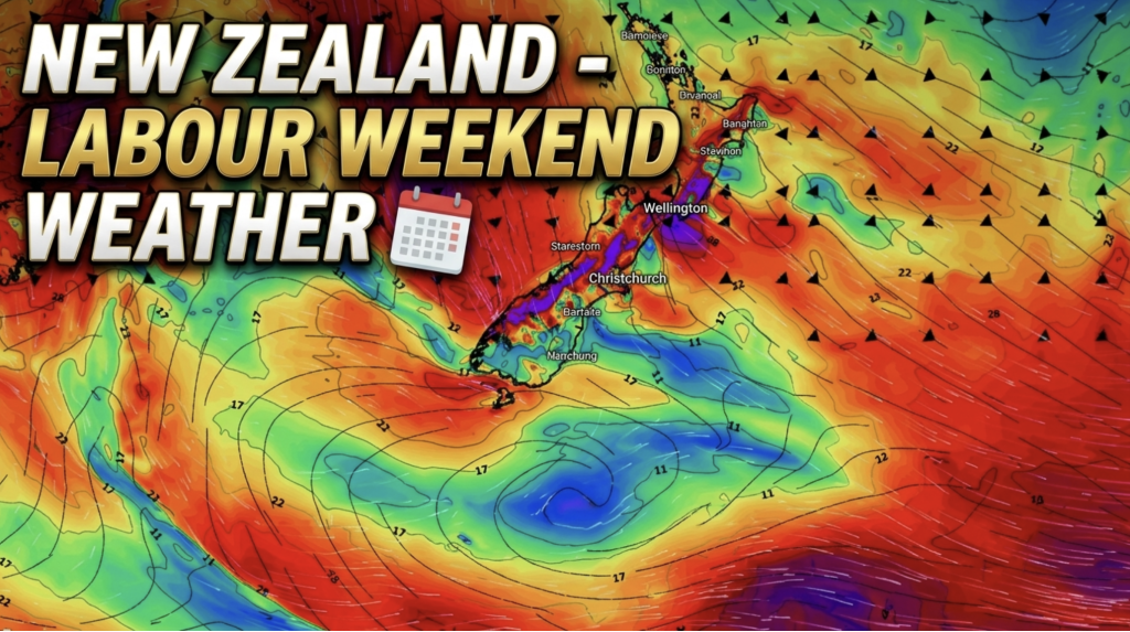
Weather this week & Labour Weekend
High pressure dominates NZ’s weather this week, but slides off much of the country by Labour Day Monday. Despite the…

