
NI low, SI cold, then a high rolls in nationwide
17/11/2026 1:18pm
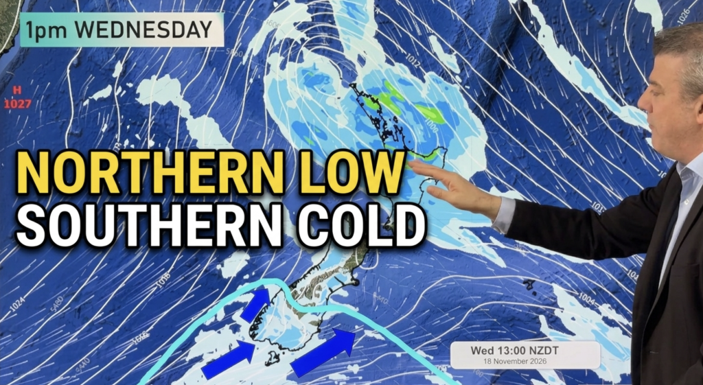
Low pressure will cross the upper North Island bringing patchy rain and the chance of some heavier falls.
Meanwhile at the southern end of the South Island a polar change is about to move through, especially for the southern half.
We track rainfall totals and thunderstorm risks – and the frost risk for some in the south on Thursday.
By Friday and into the weekend high pressure rolls in – but it does bring with some daily downpours/shower potential in both main islands, although largely dry for most.
Temperatures will also start to lift again this weekend and by early next week.
Latest Video
NI low, SI cold, then a high rolls in nationwide
Low pressure will cross the upper North Island bringing patchy rain and the chance of some heavier falls. Meanwhile at…
Related Articles
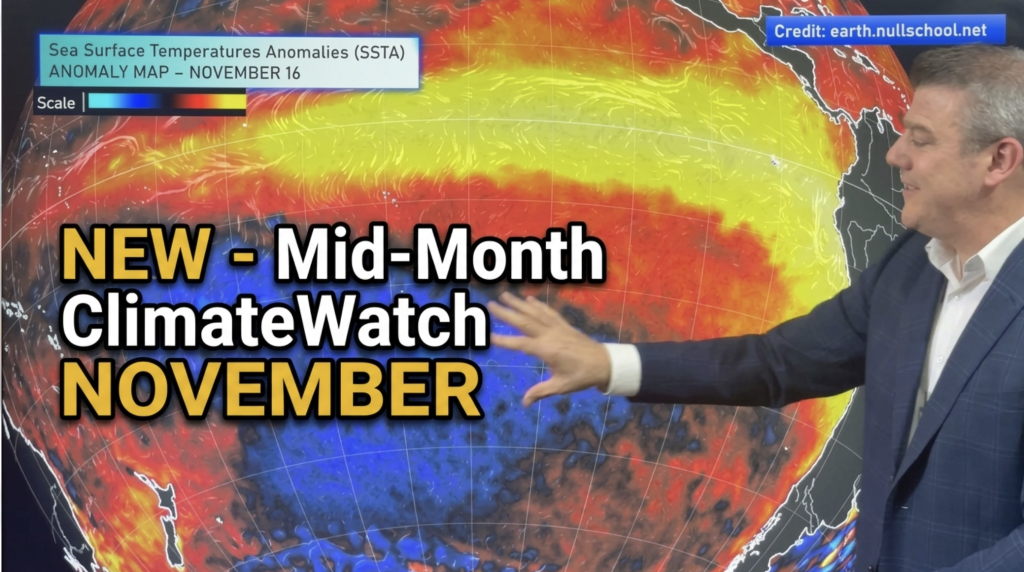
NEW: Mid-Month ClimateWatch: El Niño, IOD, SAM
NOVEMBER — We have the forecast for the rest of November in a special new mid-month ClimateWatch update (due to…
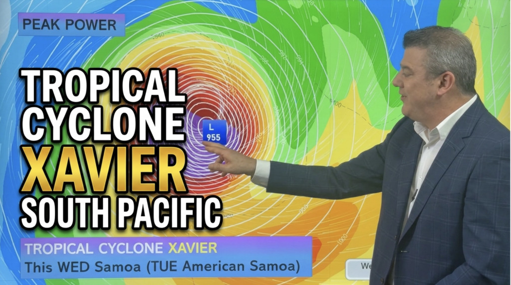
Tropical Cyclone XAVIER forms – Full Tracking
SOUTH PACIFIC – Tropical Cyclone Xavier has formed and at the time of recording this it was a Category 1…
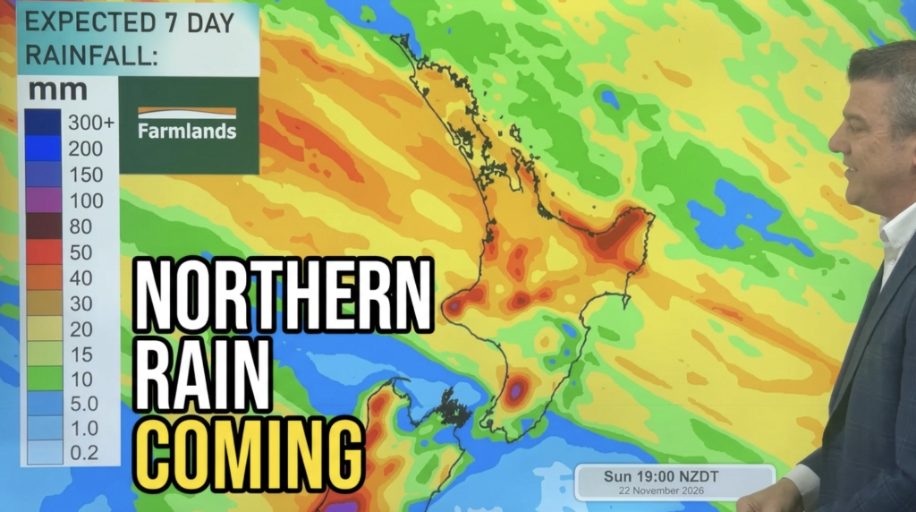
Subtropical low coming, colder air in south
The upper North Island has the chance of more wet weather this week, along with the West Coast, as a…