Next few days: NZ under influence of 5000km long high pressure zone (+3 Maps)
17/04/2019 7:55pm

> From the WeatherWatch archives
An enormous high pressure system is perfectly centred across both main islands of NZ but stretches from Fiji to eastern Australia and all the way down to near Antarctica. WeatherWatch.co.nz says from north to south the high (anticyclone) is around 5000 kilometres in distance. New Zealand is 1600kms long from north to south.
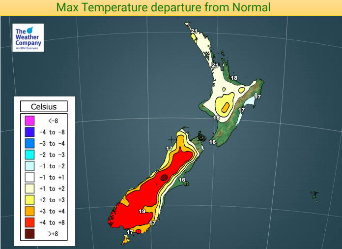
This huge high means we’ll have a couple of cold nights ahead but warmer than average afternoons for many places inland both today and tomorrow.
Due to the time of year WeatherWatch.co.nz has dubbed this high an “Easter Egg high” because of the shape of the centre directly over NZ.
The high lingers for Good Friday too – but the rain band that will bring rain to all parts of NZ at some point over the long weekend first arrives in the South West corner of the South Island on Friday PM.


– WeatherWatch.co.nz
Latest Video

Wintry burst of weather: Snow, squally showers then sunshine & frosts
A polar change (another one!) arrives on Friday for the South Island and goes nationwide on Saturday, leaving NZ under…
Related Articles
Wintry burst of weather: Snow, squally showers then sunshine & frosts
A polar change (another one!) arrives on Friday for the South Island and goes nationwide on Saturday, leaving NZ under…

Antarctic southerly for parts of NZ Fri & Sat
For the first time this year a southerly from off Antarctica is heading towards the South Island, followed by more…

Meteors – Your Eyewitness Reports!
WeatherWatch.co.nz receives meteor reports from all over New Zealand and the globe, 24/7/365. **CASUAL COMMENTS**If you’ve seen something in the…

