
Wintry burst of weather: Snow, squally showers then sunshine & frosts
30/07/2026 1:13pm
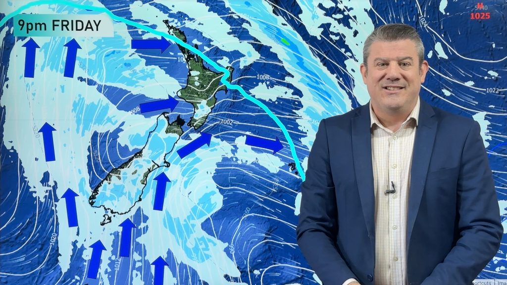
A polar change (another one!) arrives on Friday for the South Island and goes nationwide on Saturday, leaving NZ under a cold southerly flow through to the middle of next week. Temperatures will drop nationwide over the next 48 hours as this moves through.
Snow will fall below 400m with the possibility of it lower to 100m briefly (unlikely to add up to much below 200m). Snowfall in NZ’s coastal areas can be tricky due to the relatively mild ocean around us in comparison to the polar airflow moving in.
Snow will likely affect some highways in the South Island and the Central Plateau in the North Island.
Following this cold snap frosts and black ice will become the next feature going into next week – with more cold southerlies, as high pressure slowly builds.
There is also a low pressure zone in the Tasman Sea by mid-next week – it’s unclear yet how it will affect NZ.
Latest Video

NZ 8 day: More spring ups & downs
A surge of colder air will affect some places over today, tonight and Saturday morning, before a warmer airflow comes…
Related Articles
NZ 8 day: More spring ups & downs
A surge of colder air will affect some places over today, tonight and Saturday morning, before a warmer airflow comes…
Cold front heads north, high pressure struggles to reach NZ
A burst of colder air spreads over NZ tonight but for many places Friday will be a milder day as…
Thursday’s cold front, then more westerlies on way
A cold front will spread over the South Island by noon tomorrow, then over the North Island by midnight tomorrow,…

