Your web browser (Internet Explorer) is out of date. Some things will not look right and things might not work properly. Please download an up-to-date and free browser from here.
2:50am, 6th May
Home > News > Next 3 Days: Wetter & windier North...
Next 3 Days: Wetter & windier North Island… drier & cooler South Island (+12 Maps)
14/02/2021 7:10pm

> From the WeatherWatch archives
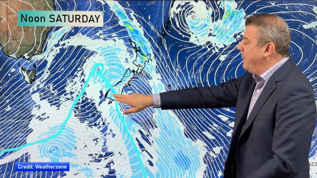
UPDATE — A sub-tropical low in the north vs a big blocking high in the south – that’s the set up for the next three days across New Zealand.
WINDS:
The perfect recipe to make an air pressure ‘squash zone’ of windy easterly quarter winds.
Over the next few days gale force winds, some gusting over 100km/h, will squeeze through some valleys, wind tunnels and marine areas due to the low pressure system sitting on the top of NZ.
At the bottom of NZ a powerful high remains in charge and will bring a very settled end to the week and a dry, settled, weekend this weekend.
TEMPERATURES:
Summer isn’t done, but we do have a cooler change this week which will see below normal daytime and nighttime temperatures, especially along eastern NZ and even more so in the South Island.
In fact the interactive Below Zero temperature maps we have here show frosts will impact some interior parts of the South Island with overnight lows down to near zero in many other places next few nights.

RAIN:
The bulk of the rain will fall over the North Island, in particular the north east corner of the island where generally up to 150mm is possible, with those in the south west getting impacted by the winds but not so much by the rain. Totals in Manawatu, for example, may only be 20mm over the next few days.
Dry Auckland is getting light to moderate rain today and a few isolated heavy falls. Totals vary across the region but 30 to 70mm is the most likely spread. Very positive for the city especially – but not enough to reverse two years of below normal rainfall.
We’ll have much more details in our Video Update, usually published between 10am and 12noon weekdays.


Comments
Before you add a new comment, take note this story was published on 14 Feb 2021.
Latest Video
Wind, rain and a colder change coming before next big high
High pressure is now moving off NZ to our east, replaced by cloudier weather and northerly quarter winds, with heavy…
Related Articles
Wind, rain and a colder change coming before next big high
High pressure is now moving off NZ to our east, replaced by cloudier weather and northerly quarter winds, with heavy…
NZ: High pressure slips away, wintry snap for some late week/Saturday
High pressure is still over New Zealand but it will slip away to the east this week allowing for West…
ClimateWatch: May outlook & El Niño discussion
Everyone is talking about El Niño so in this month’s update we discuss when it may be forming and what…
Navigation
Follow us on
© 2026 WeatherWatch Services Ltd


Add new comment