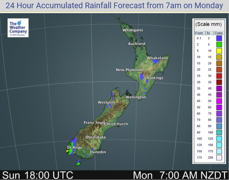
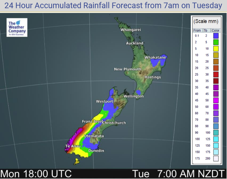
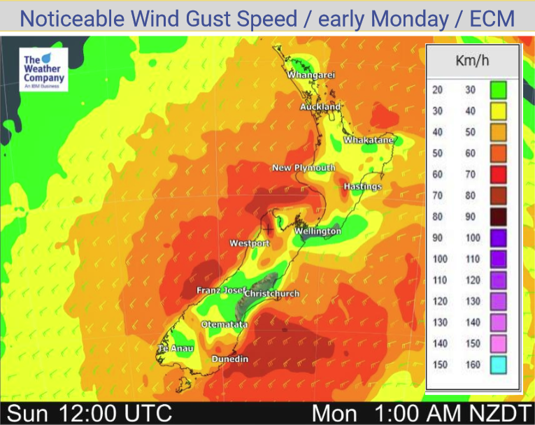
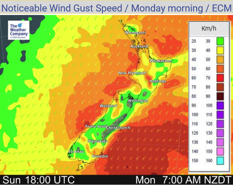
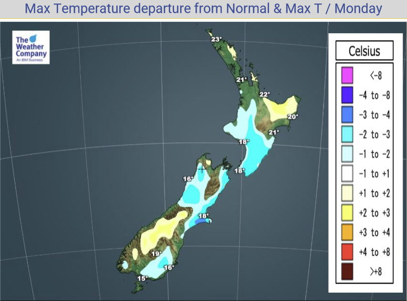
Monday’s national forecast – Southwesterlies (+10 maps)
7/03/2021 3:00pm

> From the WeatherWatch archives
A southwesterly airflow lies over New Zealand today.
North Island
Cloudy areas for the western North Island, risk of a shower or two otherwise mainly dry. The Bay Of Plenty is mainly sunny after any morning cloud breaks away. Cloudy about Wellington, Wairarapa and southern Hawkes Bay with the odd shower, drying out from this afternoon and some sun may start to break through. Further north conditions are sunnier then cloud thickens up this evening. South to southwesterly winds, tending westerly this afternoon south of Taranaki in the west.
South Island
Mostly sunny about South Westland and Central Otago with some high cloud developing, North Westland / Buller sees cloudier skies with a few showers, thinning out in the evening. Mostly cloudy about Southland and coastal Otago with a few showers, clearing evening. Nelson is mostly sunny after any morning cloud clears. South of Banks Peninsula in Canterbury expect sunny spells, further north in the east morning showers clear away then cloud may break to some sun in the afternoon. Winds are from the southwest, afternoon northerlies in Nelson, afternoon easterlies for Canterbury and Marlborough.
Please refer to your local, hourly, 10 day forecast for more details.


Latest Video

Snow, rain showers & cold polar southerlies set to return
Friday will be a wintry day across NZ as the next cold front arrives, bringing snow to lower levels of…
Related Articles
Snow, rain showers & cold polar southerlies set to return
Friday will be a wintry day across NZ as the next cold front arrives, bringing snow to lower levels of…

Frosts, late week rain & another cold weekend coming
High pressure will cross NZ over the next few days meaning more cold nights/mornings with frosts, but a nor’wester will…

NZ: Cold & windy, then calm & frosty
Downpours, some squally with the chance of thunderstorms and even small tornadoes are possible for parts of NZ over Friday…

