Monday’s national forecast – Northerly airflow moves in (+8 maps)
4/07/2021 4:00pm
> From the WeatherWatch archives
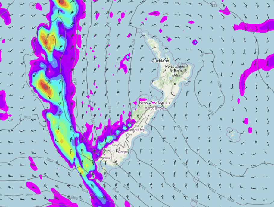
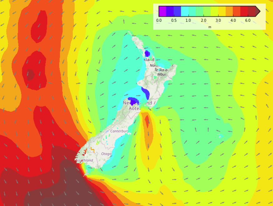
A northerly airflow develops over the South Island today ahead of a front waiting out in the Tasman Sea, meanwhile high pressure covers the North Island bringing settled weather.
Please refer to your local, hourly, 10 day forecast for more details.
North Island
Some cloud at times Auckland northwards in a northeasterly airflow, a few showers for Northland clear this morning then overnight the odd one may move back in the east. Perhaps also some cloud this morning in the southwest (Taranaki through to Wellington) then afternoon sun. Inland areas may have some low cloud or fog this morning then becoming mostly sunny. Sunny along the east coast.
South Island
Expect a northerly airflow, mostly cloudy in the west with showers, more so for South Westland. Rain overnight for Fiordland becoming heavy. Dry in the east with sun and increasing high cloud. Northerlies through Cook Strait strong to gale force, same with northeasterlies about coastal Fiordland.


Latest Video

NI low pressure, SI polar change
Low pressure will move over the upper North Island this week, bringing hit and miss pockets of heavier rain into…
Related Articles
NI low pressure, SI polar change
Low pressure will move over the upper North Island this week, bringing hit and miss pockets of heavier rain into…

Rain & showers this weekend, colder change next week
Some places will warm up over the next day or so as a nor’wester out of Australia moves across NZ,…

Temperature changes for some regions ahead of heavy West Coast rain
A nor-wester is about to kick in and it’s coming from out of Australia, boosting temperatures in some regions going…

